
Time zone IST (UTC+5:30) Elevation 421 m Population 760 (2011) | Demonym(s) Manwathkar Telephone code 02451 Local time Monday 9:21 PM Area code 02451 | |
 | ||
Weather 28°C, Wind NE at 6 km/h, 29% Humidity | ||
Manwath Road is a village in Manwath taluka of Parbhani district of Indian state of Maharashtra. Village is mainly known for being a major railway station on Nanded-Aurangabad rail route. Station code of Manwath road is MVO. It is 8 km away from taluka headquarter Manwath.
Contents
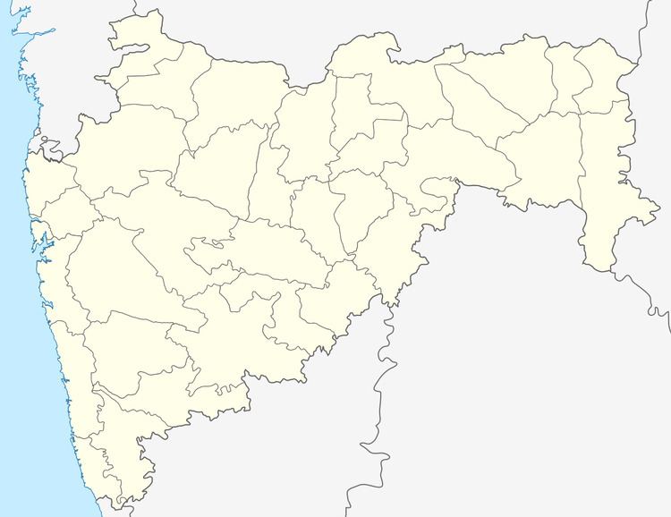
Map of Manwat Road, Maharashtra 431505
Demography
Other Transport
Manwath road is situated on National Highway 222 and well connected to surrounding cities. Following table shows distance of some cities from Manwath road.
References
Manwath Road Wikipedia(Text) CC BY-SA