
Country State Literacy 73% | Language spoken District | |
 | ||
Map of Manwath
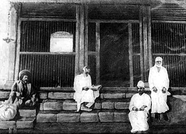
Manwath is a town with municipal council in Parbhani district in the Indian state of Maharashtra.
Contents
Demographics
As of 2011 India census, Manwath has population of 32,488 of which 16,522 are males while 15,966 are females. Female Sex Ratio is of 966 higher than Maharashtra state average of 929. 13.73% of the population is under 6 years of age.
Literacy rate of Manwath city is 78.07% lower than state average of 82.34%. In Manwath, Male literacy is around 86.10% while female literacy rate is 69.89%.
Schedule Caste (SC) constitutes 9.21% while Schedule Tribe (ST) were 1.64% of total population in Manwath.
Transport
There are two forms of government transport in Manwath.
- Railway.
- State Transport Buses
There is a railway station named Manwath Road railway station, which is 7 km from the city. The national highway 222 also runs from the city. It is about 37 km. from Parbhani There is also a bus stand in the city. 3. Indian tours and travels booking office near bus stop Manwath.
Education
- Z.P. School.
- Industrial Training Institute
- Netaji Subash Vidyalaya.
- Srimati Shakuntalabai Kanchanrao Katruwar Vidyalaya
- Shrimati saraswati bai bhale patil vidyalaya.
- Kasturba Gandhi Vidyalaya
- Model English school
- Kasturba Gandhi Vidyalaya
- abdul kalam Urdu primary school (bangala) al-fateh
- iqra Urdu school, galib nagar.(al-quresh)
- khan abdul gaffar khan Urdu high school
- Saraswati Primary English School.
- Little Flower English School.
- Blooming Buds English School, Kolha