
Country India Time zone IST (UTC+5:30) Elevation 246 m Area code 01826 | PIN 144418 Population 1,273 (2011) | |
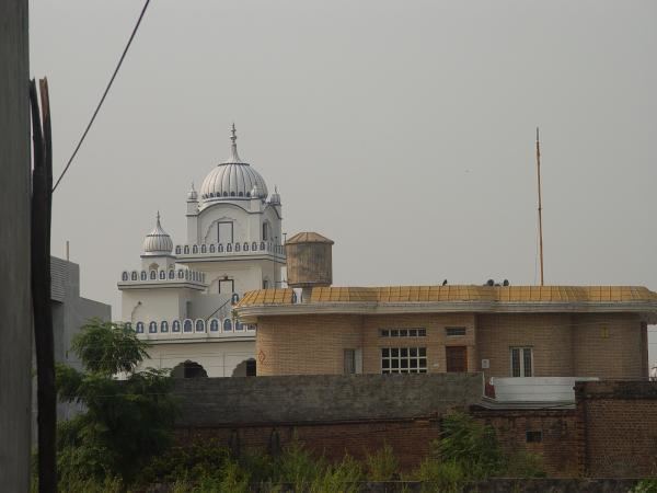 | ||
Mansurpur (Punjabi: ਮੰਸੂਰਪੁਰ) is a village in Phillaur tehsil of Jalandhar District of Punjab State, India. It is located 9.7 km away from postal head office Bara Pind. The village is 6.5 km away from Goraya, 12 km from Phillaur, 39 km from Jalandhar, and 121 km from state capital Chandigarh. The village is administrated by Sarpanch who is elected representative of village.
Contents
Map of Mansurpur, Punjab 144418
Demographics
According to the 2011 Census, The village has a population of 1273. 651 are males, while 622 are females. Mansurpur has a literacy rate of 80.94%, higher than the average literacy rate of Punjab.
Most villagers belong to a Schedule Caste (SC), comprising 72.58% of the total.
Education
Mansurpur has a co-ed upper primary with Secondary school which was founded in 1972. Schools in Mansurpur provide a mid-day meal as per the Indian Midday Meal Scheme.
Rail
Ludhiana Junction railway station is 24 km away from the village however Bhatian train station is located 3 km away.
Air
The nearest domestic airport is 41 km away in Ludhiana and the nearest international airport is 134 km away in Amritsar other nearest international airport is located in Chandigarh.