
Time zone IST (UTC+5:30) Population 7,428 (2011) | Vehicle registration WB | |
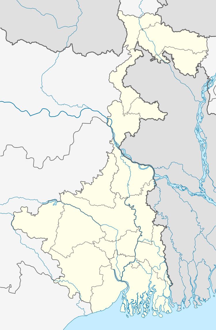 | ||
Manirampur (Bengali: মণিরামপুর ) is a census town in Chanditala I CD Block in Hooghly district in the state of West Bengal, India. It is under Chanditala police station in Srirampore subdivision.
Contents
- Map of Manirampur West Bengal
- Geography
- Gangadharpur Gram panchayat
- Demographics
- Transportation
- References
Map of Manirampur, West Bengal
Geography
Manirampur is located at: 22°44′44″N 88°13′44″E
Gangadharpur Gram panchayat
Gangadharpur Gram panchayat Area
Demographics
As per 2011 Census of India Manirampur had a total population of 7,428 of which 3,706 (50%) were males and 3,722 (50%) were females. Population below 6 years was 679. The total number of literates in Manirampur was 5,381 (79.73% of the population over 6 years).
Transportation
References
Manirampur Wikipedia(Text) CC BY-SA