
PIN 600 125 Local time Monday 12:40 AM | Time zone IST (UTC+5:30) Vehicle registration TN-85 Population 8,590 (2001) | |
 | ||
Weather 28°C, Wind SE at 5 km/h, 84% Humidity Government body Chennai Metropolitan Development Authority | ||
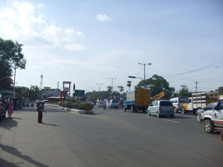
Manapakkam is a census town and part of the Chennai Metro city, in the Indian state of Tamil Nadu. Manapakkam is located along the Mount-Poonamallee Road in Chennai.It is now a home to a lot of IT companies.
Contents
Map of Manapakkam, Chennai, Tamil Nadu
Geographic location
Manapakkam is located between Ramapuram and Mugalivakkam in the North, Nandambakkam (part) and St. Thomas Mount in the East, Nandambakkam (Part) and Meenambakkam in the South and Kolapakkam in the West.
Demographics
As of 2001 India census, Manapakkam had a population of 8590. Males constitute 52% of the population and females 48%. Manapakkam has an average literacy rate of 73%, higher than the national average of 59.5%: male literacy is 77%, and female literacy is 69%. In Manapakkam, 11% of the population is under 6 years of age.
Transport
Road
Manapakkam is well connected by roads. It is 5.3 kilometres from Guindy and 5.2 km from Porur. Bus services operated by MTC connect Kundrathur, Porur, and Saidapet.
Rail
The nearest railway station is Guindy
Air
The nearest airport is Chennai