District West Godavari Time zone IST (UTC+5:30) Area code 08823 | PIN 534456 | |
 | ||
Makkinavarigudem is a village of T. Narasapuram mandal in West Godavari district in the state of Andhra Pradesh, India.
Contents
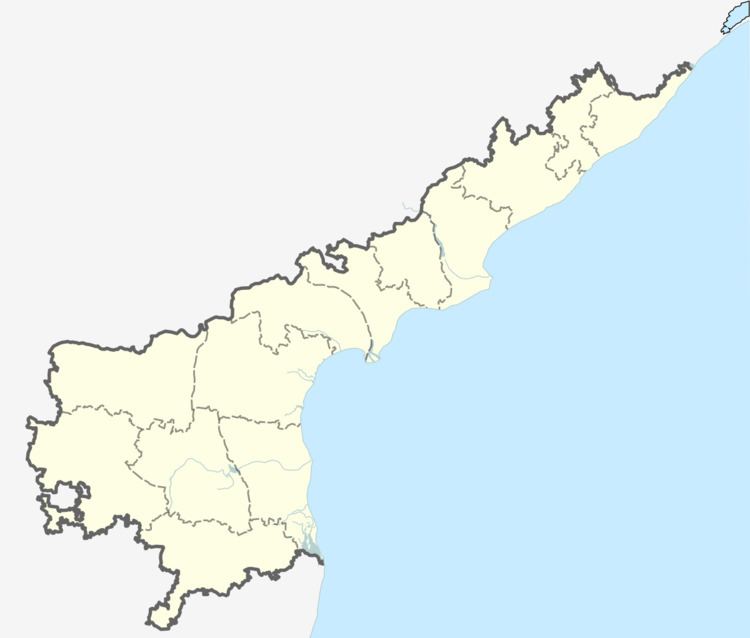
Map of Makkinavarigudem, Andhra Pradesh 534456
Geography
Makkinavarigudem is a panchayat of ~4,000 people that lies north of the District headquarters Eluru and Northeast of State capital Amaravathi. The village derives its name from a family with surname Makkina who have migrated here about a century ago. The village is mainly an agrarian community. The main crops grown here include: tobacco, paddy, mango, cashew nut, palm oil, banana, sugarcane, maize etc.
The literacy rate is high compared to the state average. Farmers use modern agricultural techniques and are known for their high yields and have been recognized for their hard working nature. Educated individuals from the village have settled all over the world. Although Makkinavarigudem falls under Polavaram constituency which is reserved for ST, majority of the villagers belong to OC, BC and SC communities. Majority are Hindus, followed by a minor chunk of Christians and Muslims. People here are soft-spoken and admirers of nature.The village has got a picturesque landscape with hills and lakes on either side. Temperatures here vary between 15 degrees C on a cold winter night and 45 degrees C on a hot summer day. Major attractions in the village include lush green fields, Jammicheruvu lake and a humongous Shivalayam. Chintalapudi, Jangareddygudem, Aswaraopeta and Sathupally are the nearest towns for business. Tourist destinations around Makkinavarigudem include: Ramuni Gudi (6 km), Chinna Tirupathi/Dwaraka Thirumala (40 km), Bhadrachalam (80 km), Guntupalli Caves (30 km), Gobbulamangamma Gudi (40 km), Polavaram Project (60 km). Distances to major cities from the village are: Amaravathi - 120 km, Rajamahendravaram - 100 km, Vijayawada - 105 km, Eluru - 65 km, Hyderabad - 332 km, Visakhaptanam - 280 km.
