
Location Pacific Ocean Length 69 km (42.9 mi) Area 100 km² | Width 16.5 km (10.25 mi) Administrative subdivision Tuamotus | |
 | ||
Island groups Tuamotu-Gambier Islands, Tuamotus | ||
Makemo tuamotu islands french polynesia barriere de corail mov
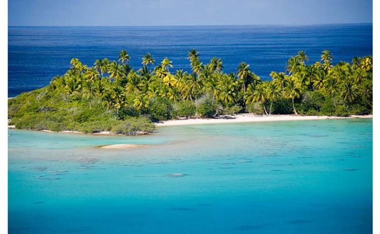
Makemo, Rangi-kemo or Te Paritua, is one of the larger of the Tuamotu atolls in French Polynesia.
Contents
- Makemo tuamotu islands french polynesia barriere de corail mov
- Map of Makemo French Polynesia
- History
- Administration
- References
Map of Makemo, French Polynesia
Makemo Atoll measures 69 km in length and 16.5 km in width, giving it a land area of 56 km². It is the fourth largest atoll of the Tuamotu Archipelago in terms of lagoon surface, with a lagoon of 603 km² in area. Despite its size, Makemo's lagoon has only two navigable passes.
Makemo Atoll has 832 inhabitants; the main village is named Pouheva with a population of 600. The village has a wharf and a boarding school of 150 children from neighbouring islands. It also hosts Makemo Airport, located to the west of Pouheva.
History
Makemo is the home of legendary Polynesian hero Moeava.
The first recorded European to arrive to Makemo Atoll was English pearl merchant John Buyers on the brig Margaret. He arrived at Makemo on 10 March 1803 on the same day he discovered Taenga and named the Makemo Atoll "Phillips Island", after a late sheriff of London, Sir Richard Phillips. In some maps Makemo appears as "Kutusov".
Makemo territorial (domestic) airport was opened in 1976.
Administration
The commune of Makemo consists of the atolls of Makemo, Haraiki, Marutea Nord, Katiu, Tuanake, Hiti, Tepoto Sud, Raroia, Takume, Taenga and Nihiru.