
Length 27 km (16.8 mi) Area 232.5 km² | Width 12.5 km (7.77 mi) Administrative subdivision Tuamotus Island group Tuamotus | |
 | ||
Katiu, or Taungataki, is an atoll of the central Tuamotu Archipelago in French Polynesia. It is located 23.5 kilometres (14.6 miles) west of Makemo Atoll's westernmost point.
Contents
Map of Katiu, French Polynesia
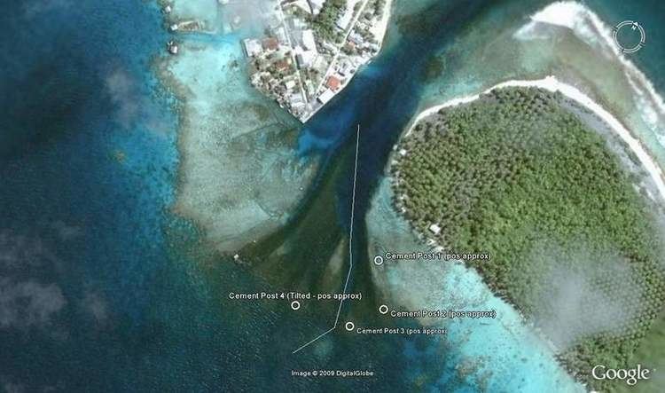
Katiu Atoll is roughly oval in shape. It measures 27 kilometres (17 miles) in length with a maximum width of 12.5 kilometres (7.8 miles). Its total area, including the lagoon is 232.5 square kilometres (89.8 square miles) and a land area of approximately 10 square kilometres (4 square miles). There are many narrow islands on the north-eastern side of its long reef with a total land area of about 3 square kilometres (1 square mile). Its lagoon is connected to the ocean.
Katiu has a population of 250 inhabitants. The main occupations are fishing, copra harvesting and pearl farming. The most important village is called Toini; it is located on one of the long islands of the northeastern reef.
History
The first recorded European to arrive to Katiu was Russian oceanic explorer Fabian Gottlieb von Bellingshausen in 1820 on ships Vostok and Mirni. He named this atoll "Osten-Saken" or "Saken".
There is a territorial (domestic) airfield in Katiu which was inaugurated in 2001.
Administration
Katiu belongs to the commune of Makemo, which consists of the atolls of Makemo, Haraiki, Marutea Nord, Katiu, Tuanake, Hiti, Tepoto Sud, Raroia, Takume, Taenga and Nihiru.