
Existed: 1941 – present Counties: York Constructed 1941 | Length 14.1 km | |
 | ||
East end: US 1 / SR 9A in Kennebunk | ||
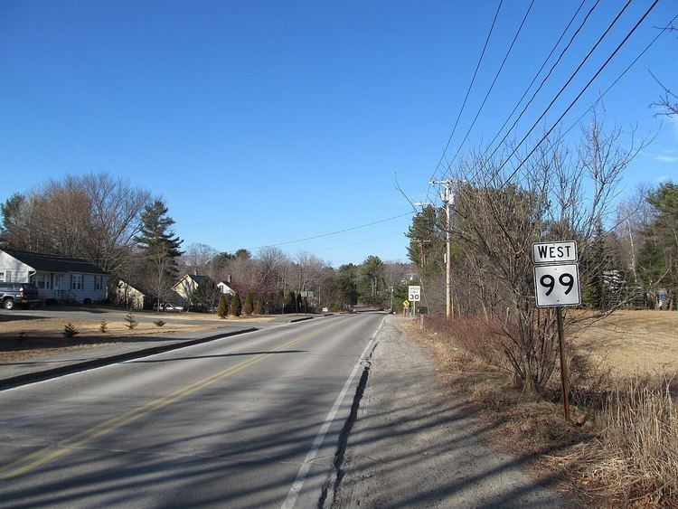
State Route 99 is part of Maine's system of numbered state highways, located in York County. It runs 8.76 miles (14.10 km) from an intersection with State Route 109 in Sanford to Kennebunk, where it meets State Route 9A and U.S. Route 1. SR 99 is signed as an east-west route.
Contents
Map of ME-99, Kennebunk, ME 04043, USA
Route description
SR 99 begins in the west at SR 109 in the southeastern corner of Sanford. The highway crosses into Kennebunk and runs east into town along the Mousam River. SR 99 passes over the Maine Turnpike (Interstate 95) without an interchange before intersecting with SR 9A. SR 99 is cosigned with SR 9A into downtown for before the two routes meet US 1. SR 99 ends at this intersection while SR 9A joins up with US 1 north. SR 35 crosses US 1 less than a quarter mile from this intersection.
The route is also known as Cat Mousam Road (in Kennebunk), Webber Hill Road, and Kennebunk Road (in Sanford). Route 99 also passes by Lloid G. Nedeau Memorial Park.
History
SR 99 has always had its administrative terminus at US 1 in Kennebunk, but its signed eastern terminus was historically located at its intersection with SR 9A west of downtown. Signage from US 1 for SR 9A read "To SR 99." Signage has since been updated, and SR 99 is now cosigned with SR 9A between the two historic termimi.
Major junctions
The entire route is in York County.