
Length 48 km Mouth Atlantic Ocean | Source Mousam Lake | |
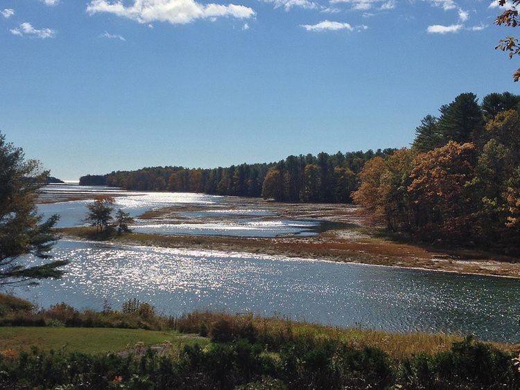 | ||
Lwag mousam river wildlife sanctuary kennebunk maine
The Mousam River is a 29.7-mile-long (47.8 km) river in York County, Maine, in the United States. Its primary source is Mousam Lake located between the towns of Shapleigh and Acton, Maine, and it flows into the Atlantic Ocean just west of Kennebunk Beach. It flows through the towns of Shapleigh, Sanford and Kennebunk.
Contents
- Lwag mousam river wildlife sanctuary kennebunk maine
- Map of Mousam River Kennebunk ME USA
- Mousam river malegaon
- Major tributariesEdit
- DamsEdit
- References
Map of Mousam River, Kennebunk, ME, USA
Mousam river malegaon
Major tributariesEdit
DamsEdit
The Mousam River is one of the most heavily dammed rivers currently in the State of Maine, with a total of 13 (this is excluding major and minor tributaries). Most of the dams on the list below are used for hydroelectric production, while others are for impoundment and recreation, with former industrial uses. The list below is from river source to the mouth at the Atlantic Ocean:
References
Mousam River Wikipedia(Text) CC BY-SA