
Founded March 1, 1846 Area 1,101 km² | Largest city Youngstown Population 233,869 (2013) | |
 | ||
Website www.mahoningcountyoh.gov Colleges and Universities Youngstown State University, Mahoning County Career a, Choffin Career and Technical, TDDS Technical Institute, Casal Aveda Institute Points of interest Butler Institute of American, Youngstown Historical Center of, McDonough Museum of Art, Mill Creek Park, Fellows Riverside Gardens | ||
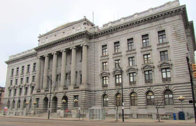
Mahoning County is a county located in the U.S. state of Ohio. As of the 2010 census, the population was 238,823. Its county seat is Youngstown. The county is named for an Indian word meaning "salt lick". Mahoning County was formed on March 1, 1846; the 83rd county in Ohio. Until 1846, the area that is now Mahoning County was part of Trumbull and Columbiana counties, when the counties in the area were redefined and Mahoning County emerged as a new county.
Contents
- Map of Mahoning County OH USA
- Geography
- Adjacent counties
- Major Highways
- 2000 census
- 2010 census
- Colleges and universities
- Community junior and technical colleges
- Population ranking
- References
Map of Mahoning County, OH, USA
Mahoning County is part of the Youngstown-Warren-Boardman, OH-PA Metropolitan Statistical Area.
Geography
According to the U.S. Census Bureau, the county has a total area of 425 square miles (1,100 km2), of which 412 square miles (1,070 km2) is land and 14 square miles (36 km2) (3.2%) is water.
Adjacent counties
Major Highways
2000 census
As of the census of 2000, there were 257,555 people, 102,587 households, and 68,835 families residing in the county. The population density was 620 people per square mile (239/km²). There were 111,762 housing units at an average density of 269 per square mile (104/km²). The racial makeup of the county was 81.04% White, 15.87% Black or African American, 0.17% Native American, 0.47% Asian, 0.02% Pacific Islander, 1.03% from other races, and 1.38% from two or more races. 2.97% of the population were Hispanic or Latino of any race.
93.1% spoke English, 2.6% Spanish, 1.0% Italian, and 0.5% Greek as their first language.
There were 102,587 households out of which 28.40% had children under the age of 18 living with them, 49.00% were married couples living together, 14.10% had a female householder with no husband present, and 32.90% were non-families. 29.10% of all households were made up of individuals and 13.10% had someone living alone who was 65 years of age or older. The average household size was 2.44 and the average family size was 3.02.
In the county, the population was spread out with 23.70% under the age of 18, 8.40% from 18 to 24, 26.40% from 25 to 44, 23.70% from 45 to 64, and 17.80% who were 65 years of age or older. The median age was 40 years. For every 100 females there were 91.40 males. For every 100 females age 18 and over, there were 88.00 males.
The median income for a household in the county was $35,248, and the median income for a family was $44,185. Males had a median income of $36,313 versus $23,272 for females. The per capita income for the county was $18,818. About 9.60% of families and 12.50% of the population were below the poverty line, including 19.10% of those under age 18 and 8.70% of those age 65 or over.
2010 census
As of the 2010 United States Census, there were 238,823 people, 98,712 households, and 62,676 families residing in the county. The population density was 580.2 inhabitants per square mile (224.0/km2). There were 111,833 housing units at an average density of 271.7 per square mile (104.9/km2). The racial makeup of the county was 79.9% white, 15.7% black or African American, 0.7% Asian, 0.2% American Indian, 1.4% from other races, and 2.1% from two or more races. Those of Hispanic or Latino origin made up 4.7% of the population. In terms of ancestry, 21.4% were German, 18.4% were Italian, 16.6% were Irish, 8.9% were English, and 4.2% were American.
Of the 98,712 households, 27.9% had children under the age of 18 living with them, 43.7% were married couples living together, 15.0% had a female householder with no husband present, 36.5% were non-families, and 31.8% of all households were made up of individuals. The average household size was 2.34 and the average family size was 2.94. The median age was 42.9 years.
The median income for a household in the county was $40,123 and the median income for a family was $52,489. Males had a median income of $44,516 versus $31,969 for females. The per capita income for the county was $22,824. About 12.6% of families and 16.6% of the population were below the poverty line, including 25.9% of those under age 18 and 10.0% of those age 65 or over.
Colleges and universities
Community, junior, and technical colleges
Population ranking
The population ranking of the following table is based on the 2010 census of Columbiana County.
† county seat