
Country United States Elevation 223 m Area code 808 | GNIS feature ID 2583423 Population 880 (2010) | |
 | ||
Time zone Hawaii-Aleutian (UTC-10) Area 17.37 km² (17.35 km² Land / 2 ha Water) | ||
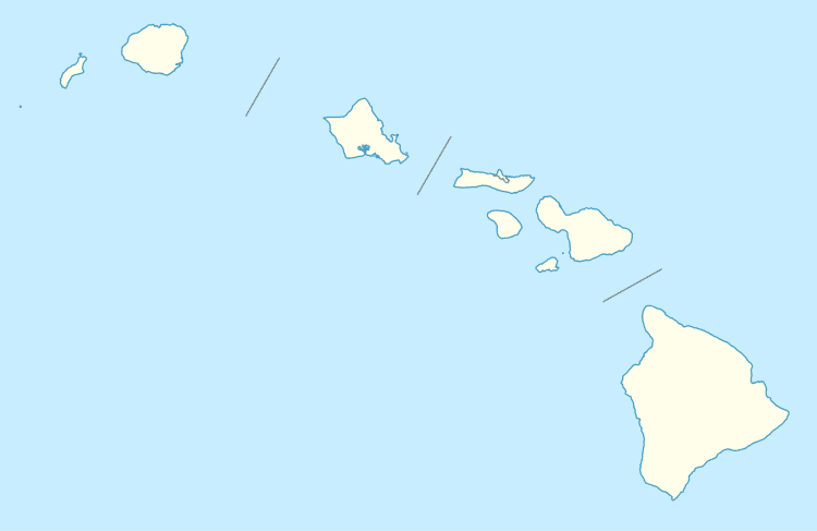
Mahinahina is an unincorporated community and census-designated place on the island of Maui in Maui County, Hawaii, United States. Its population was 880 as of the 2010 census. The community is located on the west side of the island.
Geography
Mahinahina is located at 20.9539453°N 156.6564808°W / 20.9539453; -156.6564808. According to the U.S. Census Bureau, the community has an area of 6.708 square miles (17.37 km2), of which 6.699 square miles (17.35 km2) is land and 0.009 square miles (0.023 km2) is water.
References
Mahinahina, Hawaii Wikipedia(Text) CC BY-SA