
Population 22,944 (2015) | Postal Code 1636 Area code 02 | |
 | ||
Region National Capital Region District 2nd Legislative district of Taguig | ||
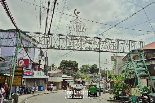
Maharlika Village is one of the 28 barangays of Taguig, Metro Manila, Philippines. It has an area of 54 hectares (130 acres) and has the biggest Muslim community in Metro Manila with a population of 18,406.
Contents
- Map of Maharlika Village Taguig Metro Manila Philippines
- Bet runs unopposed in taguig s maharlika village
- References
Map of Maharlika Village, Taguig, Metro Manila, Philippines
The village was created in 1974 when President Ferdinand Marcos set aside 30 hectares (74 acres) of the Armed Forces of the Philippines Officers Village in Taguig to become a subdivision for Muslim Filipinos. It had been settled by twenty Moro families since the 1950s led by an imam named Muhammad Kusin. They lived in huts and had requested the government for their own community since 1964. The community grew to 480 families, which included members of the Moro elite, such as descendants of sultans from Mindanao, government officials, military officers, ambassadors and business executives. The government then created two more sitios to the barangay of Maharlika Village: Sitio Imelda Romualdez Marcos and Sitio Bandara-Ingued.