 | ||
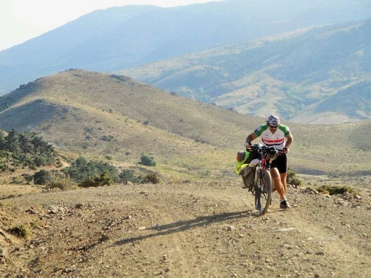
Madra Mountains are in western Anatolia, Aegean Region of Turkey. They are horst type geological formation. The highest point of the mountains is Maya Hill.
Contents
- Map of Madra Dagi C387obanlar Mahallesi 35700 Bergama2FC4B0zmir Turkey
- Geography
- Economy and Tourism
- References
Map of Madra Dagi, %C3%87obanlar Mahallesi, 35700 Bergama%2F%C4%B0zmir, Turkey
Geography
They are located on the northern Aegean part of the western Anatolia and form the border of İzmir and Balikesir provinces of Turkey. In Balıkesir province they range on Ayvalık, Burhaniye, Havran and İvrindi district. In İzmir province they range on Bergama and Dikili district, in Manisa province only in Soma.
They are surrounded by the
There are Madra dam in the west and Kestel dam in the east of the mountains.
Economy and Tourism
In Kozak Plateau of Madra Dağları region pinus pinea production is essential. Also pavement stone production for roads is important. The region is also known for grape production.
Near Aşağıbey village there is ruins of ancient city of Perperene and near Yukarıbey village there is ancient Trarion.
