
Elevation 161 m (528 ft) Postal code 45500 Area 838.9 km² Area code 236 | Region Aegean Time zone EET (UTC+2) Licence plate 45 Local time Sunday 1:23 PM | |
 | ||
Weather 21°C, Wind SW at 8 km/h, 45% Humidity | ||
Soma is a town and district of Manisa Province in the Aegean region of Turkey. According to the 2009 census, the population of the district is 101,011, of which 74,158 live in the town of Soma. The district covers an area of 839 km2 (324 sq mi), and the town lies at an elevation of 161 m (528 ft).
Contents
Map of Soma%2FManisa, Turkey
Economy
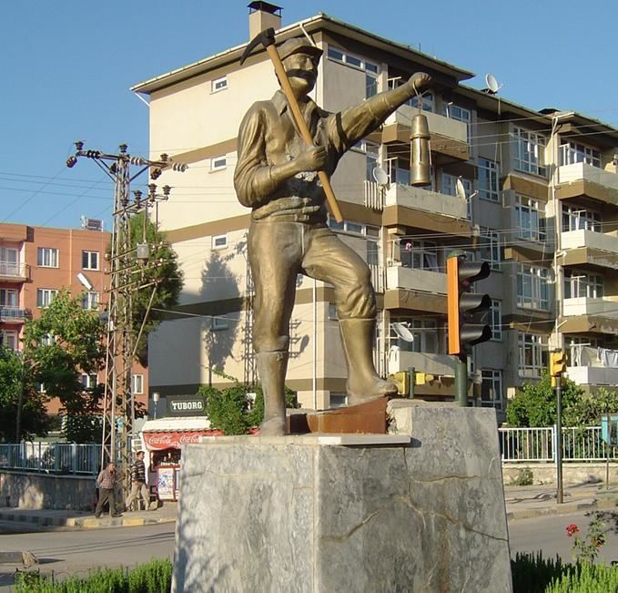
Lignite mining and a lignite-fired thermal power plant are the main economic activities in Soma. During World War I the mines were opened up for production. The lignite extracted during that time was described as being of "very bad" quality. That lignite was burned with German coal for trains in the region. A small portion was exported to İzmir.
The Soma Wind Farm, with 119 wind turbines and an installed total capacity of 140.4 MW, is one of Turkey's largest wind farms.
2014 Soma coal mine disaster
On 13 May 2014, as a result of an explosion caused by a mine fire at the Soma coal mine, 301 workers were killed.