
Website Official Map of Madan | Time zone BST (UTC+6) Area 225.8 km² | |
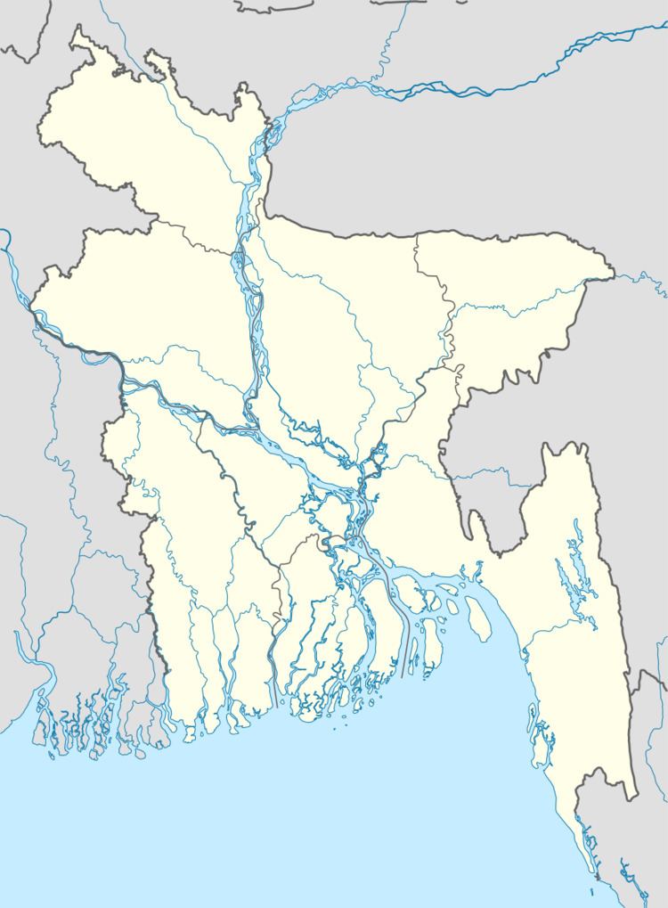 | ||
Madan (Bengali: মদন) is an upazila of Netrokona District in the Division of Mymensingh, Bangladesh.
Contents
Geography
Madan is located at 24.7167°N 90.9667°E / 24.7167; 90.9667. It has 21,808 households and total area 225.85 km².
Demographics
As of the 1991 Bangladesh census, Madan has a population of 117613. Males constitute 50.99% of the population, and females 49.01%. This Upazila's eighteen up population is 58127. Madan has an average literacy rate of 18.7% (7+ years), and the national average of 32.4% literate.
Administration
Madan has 1 Pourashava, 8 Unions/Wards, 95 Mauzas/Mahallas, and 120 villages.
References
Madan Upazila Wikipedia(Text) CC BY-SA