
- right Bungalally Creek | - elevation 323 m (1,060 ft) - elevation 131 m (430 ft) | |
 | ||
- location | ||
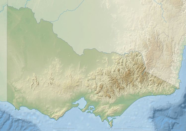
The Mackenzie River, an inland intermittent river of the Wimmera catchment, is located in the Grampians region of the Australian state of Victoria. Rising in the Grampians National Park, on the northern slopes of the Great Dividing Range, the Mackenzie River flows generally north by west and drains into the Wimmera River, southwest of Horsham.
Contents
Course and features
The Mackenzie River rises on the northern slopes of the Great Dividing Range, and flows generally west by north, joined by one minor tributary, before reaching its mouth to flow into the Wimmera River at Banyena; southwest of Horsham. The Mackenzie River descends 62 metres (203 ft) over its 57-kilometre (35 mi) course.
The river is crossed by the Henty Highway, south of Horsham.
Etymology
In the local indigenous language the river is named Bun-nah, meaning "tea-tree scrub"; and in the Jardwadjali language, Bunud, meaning "mallee tree, tea-tree scrub".