
Time zone CET (UTC+1) Area code 0418, 0487, 073 Area 75.46 km² Local time Thursday 10:31 PM | Elevation 4 m (13 ft) Postcode 5320–5335, 6624 Website www.maasdriel.nl Team Jan van Arckel | |
 | ||
Weather 9°C, Wind W at 10 km/h, 80% Humidity Points of interest Ammersoyen Castle, Driels Museum, Kleindierwandelpark Hedel, Bezoekerscentrum de Grote Rivieren, Nederlands Dakpannen Museum | ||
Maasdriel ( pronunciation ) is a municipality in the province of Gelderland, in the eastern Netherlands.
Contents
Map of Maasdriel, Netherlands
Maasdriel was formed on 1 January, 1999 by the merger of the former municipalities of Ammerzoden (including Well, Wellseind en Wordragen), Hedel, Heerewaarden, Maasdriel (Alem, Hoenzadriel, Kerkdriel and Velddriel) and Rossum (including Hurwenen). The former municipality of Maasdriel was called "Driel" before 1944.
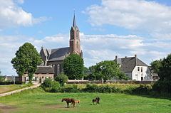
Population centres
Dutch Topographic map of the municipality of Maasdriel, June 2015
References
Maasdriel Wikipedia(Text) CC BY-SA