
Local time Sunday 4:42 AM | ||
 | ||
Major roads A2, N831, Oude Rijksweg Weather 11°C, Wind SW at 21 km/h, 94% Humidity | ||
Hedel ( [ˈɦeːdəl]) is a town in the Dutch province of Gelderland. It is a part of the municipality of Maasdriel, and lies about 7 km northwest of 's-Hertogenbosch.
Map of Hedel, Netherlands
Hedel was a separate municipality until 1999, when it was merged with Maasdriel.
In World War II, there were a lot of fights in Hedel, especially during the month April 1945 when the armies of the Princess Irene Brigade came to liberate the town. Hedel has a very strategic location, it lies on the border of Gelderland and North-Brabant and on the Maas. Almost the whole town of Hedel was destroyed during World War II.
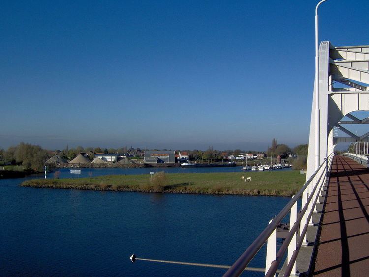
Hedel has its own harbor named 't Stik. There is also an excavation of the castle of Hedel. The excavations lie in the Historic Museum in Hedel. A clock Museum and a mini-zoo with snowy owls, goats, pheasants, parrots, chickens, ducks and other animals can also be found in Hedel.
Hedel has got a Reformed and a catholic church. The reformed church was built in 1640, but it was destroyed during World War II and rebuilt in the original style several years later.
On the first Monday of November after 1 November, there is a horse market. This is the biggest horse market in the Netherlands and one of the biggest horse markets in Europe.
In 2001, the town of Hedel had 4023 inhabitants. The built-up area of the town was 1.4 km², and contained 1567 residences. The statistical area "Hedel", which also can include the peripheral parts of the village, as well as the surrounding countryside, has a population of around 4600.