Existed: 1966 – present Constructed 1966 | Length 1,517 km | |
 | ||
Major cities | ||
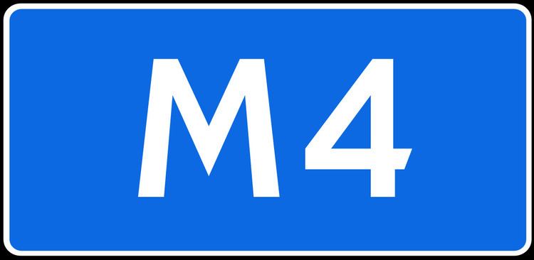
The Federal Automobile Road M-4 "Don" is a major expressway, trunk road that links Moscow, Voronezh, Rostov-na-Donu and Krasnodar. Its length is 1517 kilometres.
Map of M4, Russia
The route starts at the Moscow Ring Road (as Kashira Highway) and runs south, passing west of Vidnoye, east of Domodedovo, west of Kashira and Stupino, where the Caspian Highway branches off to the east. The Don Highway continues across Tula Oblast west of Venev, through Bogoroditsk and Yefremov, then across Lipetsk Oblast, passing through Yelets and Zadonsk, and then across Voronezh Oblast, bypassing Voronezh and Boguchar. After crossing the Don River near Rostov, the road continues further south to Krasnodar and finishes at Novorossiysk.
The Don Road, extensively upgraded and widened in the 2000s–2010s into an expressway, is an artery connecting Moscow with Southern Russia. In the summer months, the road suffers from heavy traffic congestion caused by summer vacationers travelling to the Black Sea resorts like Sochi and by lorries transporting fruit from the southern provinces to the heavily populated areas of Central and Northern Russia.
M-4 currently is the only Russian nationwide expressway. The road is partially tolled.
The Moscow-Krasnodar section is part of European route E115. The Moscow-Kashira section is part of AH8, the section in Rostov-on-Don is part of European route E50, the Dzhubga-Novossiysk section is part of European route E97 and the Krasnodar-Dzhubga section is part of European route E592.
