
Country Burma Time zone MST (UTC+6.30) | Elevation 1,451 m | |
 | ||
Division | ||
Mān Ye-su, also known as Man Ye-su, is a village in Hopang District, Wa Self-Administered Division of Myanmar.
Contents
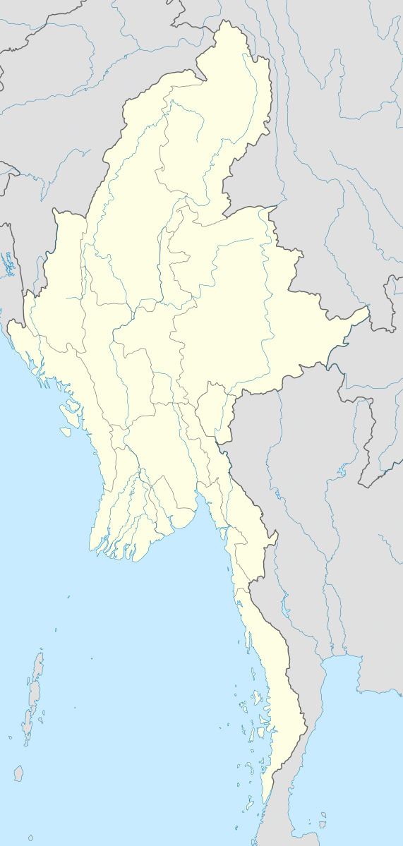
Map of Man Ye-su, Myanmar (Burma)
Geography
Mān Ye-su is located in the mountainous area near the border with China, which lies at Mong Ling Shan mountain, about 4 km to the east.
References
Mān Ye-su Wikipedia(Text) CC BY-SA