
 | ||
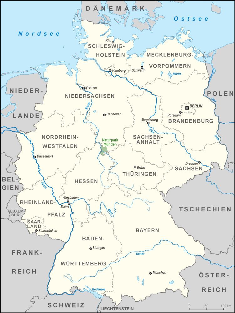
The Münden Nature Park lies within the district of Göttingen, in south Lower Saxony in Germany.
Contents
Geography
This large and densely wooded nature park was founded in 1959 within the borders of the now defunct district of Münden. It is just under 374 square kilometres (144 sq mi) in area and runs almost from the eastern edge of the town of Kassel and border of Hesse in a northerly direction through the northern part of the Kaufungen Forest via Hann. Münden to the Bramwald and Dransfeld Town Forest. It lies south, east and northeast of the confluence of the Fulda and Werra rivers with the Weser and borders in the south and southeast on the Meißner-Kaufungen Forest Nature Park. It is crossed by the A 7 motorway.
Many footpaths criss-cross this forested landscape, including long-distance paths like the Frau Holle Path (Kennzeichnung X4), Werraburgensteig (X5), Studentenpfad (X13) and Fuldahöhenweg (X17). On the Großer Staufenberg there is a glider airfield.
Hills
The hills in the Münden Nature Park include (heights in metres above sea level (NN)):