
Main source Rhön850 m (2,790 ft) Length 221 km Source Rhön Mountains | Basin size 6,932 km (2,676 sq mi) Basin area 6,932 km² Mouth Weser Bridges Pionierbrücke | |
 | ||
Cities | ||
The Fulda ( [ˈfʊlda]) is a river in Hesse, Germany. It is one of two headstreams of the Weser (the other one being the Werra). The Fulda is 220.7 kilometres (137.1 mi) long.
Map of Fulda, Germany
The river arises at Wasserkuppe in the Rhön mountains. From there it runs northeast, flanked by the Knüll mountains in the west and the Seulingswald in the east. Near Bebra it changes direction to the northwest.
After joining the Eder river it flows straight north until Kassel, then changes direction to the northeast, with the Kaufungen Forest east and the beginning of the Reinhardswald forest northwest. The north end of the river meets the Werra in Hannoversch Münden, where the Fulda and the Werra join to form the Weser river.
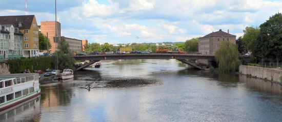
Cities along the Fulda include:
References
Fulda (river) Wikipedia(Text) CC BY-SA