
Vehicle registration IL Elevation 995 m Population 1,349 (1 Apr 2009) Area code 05273 | Time zone CET (UTC+1) Area 28.8 km² Local time Thursday 6:59 PM Postal code 6143 | |
 | ||
Website www.muehlbachl.tirol.gv.at Weather 11°C, Wind S at 24 km/h, 60% Humidity | ||
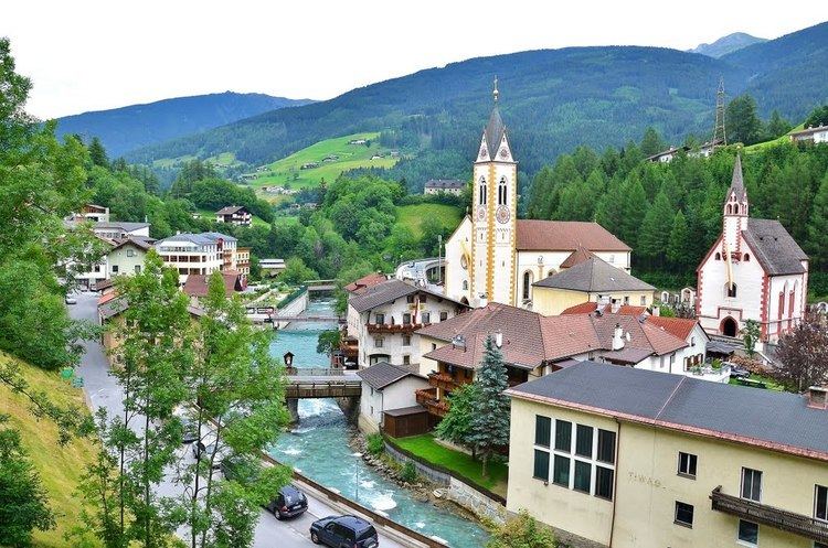
Mühlbachl is a municipality in the district Innsbruck-Land and is located 15 km south of Innsbruck. Mühlbachl extends from the southern slopes of Schönberg im Stubaital along Matreiwald to Steinach (to the aperture of the Navistal). It has 1349 inhabitants and the Sill River flows through it. Mühlbachl is aligned in many ways with Matrei am Brenner, Pfons and to some extent to Navis.
Contents
Map of 6143 M%C3%BChlbachl, Austria
A famous place of pilgrimage, Maria Waldrast, can be reached by hiking up the mountain Serles to the west. The Serles is 2718 metres high.
Neighboring municipality
Ellbögen, Fulpmes, Matrei am Brenner, Mieders, Navis, Neustift im Stubaital, Pfons, Schönberg im Stubaital, Steinach am Brenner, Trins, Telfes im Stubai,
References
Mühlbachl Wikipedia(Text) CC BY-SA