
Isolation 10.4 km → Böseck Elevation 2,784 m | Prominence 1,579 m | |
 | ||
Similar Großer Sonnleitstein, Cima Pietra Grande, Kampalpe, Tonion, Sonnwendstein | ||
The Mölltaler Polinik, at 2,784 m (9,134 ft), is the highest mountain of the Kreuzeck group, part of the Hohe Tauern range in the Austrian state of Carinthia.
Contents
Map of M%C3%B6lltaler Polinik, 9821, Austria
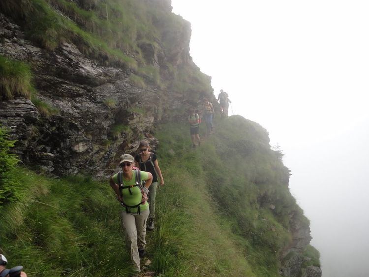
The peak rises south of the villages of Flattach and Obervellach in the Möll valley. From Obervellach a footpath leads past the Polinikhaus lodge (1,873 m (6,145 ft), run by Mölltal Section of the Austrian Alpine Club) to the summit. From Flattach the mountain may be climbed through the deep Ragga Ravine along a winding boardwalk across numerous waterfalls and the Raggaalm pasture.
Literature
References
Mölltaler Polinik Wikipedia(Text) CC BY-SA