
Isolation 16.4 km (10.2 mi) Prominence 425 m | Elevation 866 m Parent range Jura Mountains | |
 | ||
Similar Üetliberg, Wellenberg, Pfannenstiel, Bachtel, Hörnli | ||
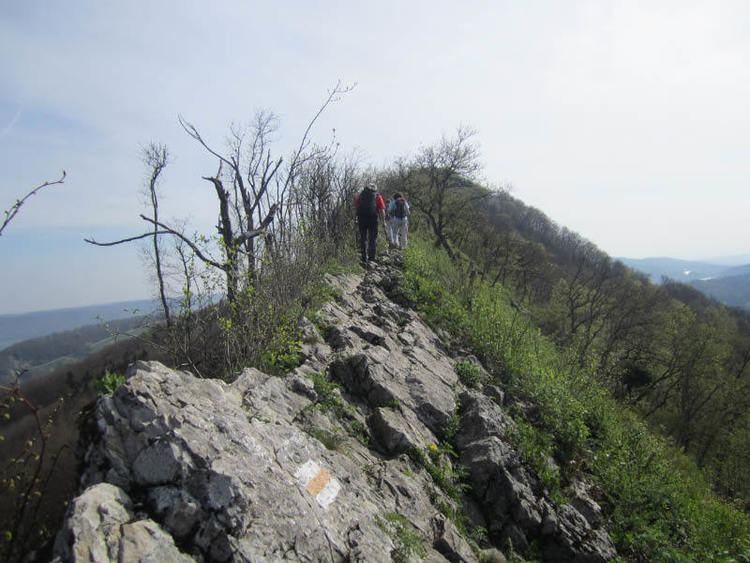
The Lägern (also spelled Lägeren; 866 m) is a wooded mountain of the Jura Mountains, stretching from Baden to Dielsdorf, about 15 km north-west of Zurich. The culminating point is located 1 km west of Hochwacht within the canton of Zurich, the border with the canton of Aargau running on a slightly lower summit named Burghorn (859 m).
Map of L%C3%A4gern, 8112 Otelfingen, Switzerland
The Lägern lies in the easternmost part of the Jura Mountains, east of the river Aare. It is the highest summit of the range lying between the Rhine, Aare and Limmat. Its location east of the Aare makes it topographically connected to the Appenzell Alps, by the chain of hills running north of Lake Zurich.
The mountain is entirely traversed by a trail following the crest from Baden to Dielsdorf. From Dielsdorf a road also leads to Hochwacht, where a radar is operated by Skyguide (municipality of Boppelsen).