
Time zone EET (UTC+2) Website www.likovrisi.gr Area code 21028 | Elevation 230 m (750 ft) Postal code 141 xx Local time Wednesday 4:41 PM | |
 | ||
Vehicle registration Yxx,Zxx,Ixx (excluding ZAx and INx) Weather 12°C, Wind NE at 24 km/h, 61% Humidity | ||
Lykovrysi (Greek: Λυκόβρυση; formerly Γλυκόβρυση Glykovrysi), is a town north of Athens, Greece. Since the 2011 local government reform it is part of the municipality Lykovrysi-Pefki, of which it is a municipal unit.
Contents
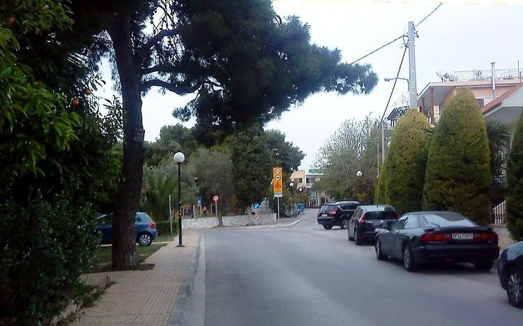
Map of Lykovrysi, Greece
Geography
Lykovrysi is situated 11 km northeast of Athens city centre, east of the small river Kifisos. The municipal unit has an area of 1.950 km2. The built-up area of Lykovrysi is continuous with those of the neighbouring towns of Metamorfosi, Pefki and Irakleio. Greek National Road 1 passes through the town.
Τhere are two primary schools, the '1st and the 2nd Primary School of Lykovrysi', a gymnasium (junior high school), the '1st Gymnasium of Lykovrysi', a lyceum (senior high school), the '1st Lyceum of Lykovrysi', as well as St. Catherine's British Embassy School.
Education
St.Catherine's British School in Athens is located in the town.