
Time zone EET (UTC+2) Vehicle registration Z Local time Saturday 10:33 PM | Elevation 260 m (850 ft) Postal code 151 xx Website www.dimospefkis.gr Area code 210 | |
 | ||
Weather 16°C, Wind S at 5 km/h, 48% Humidity | ||
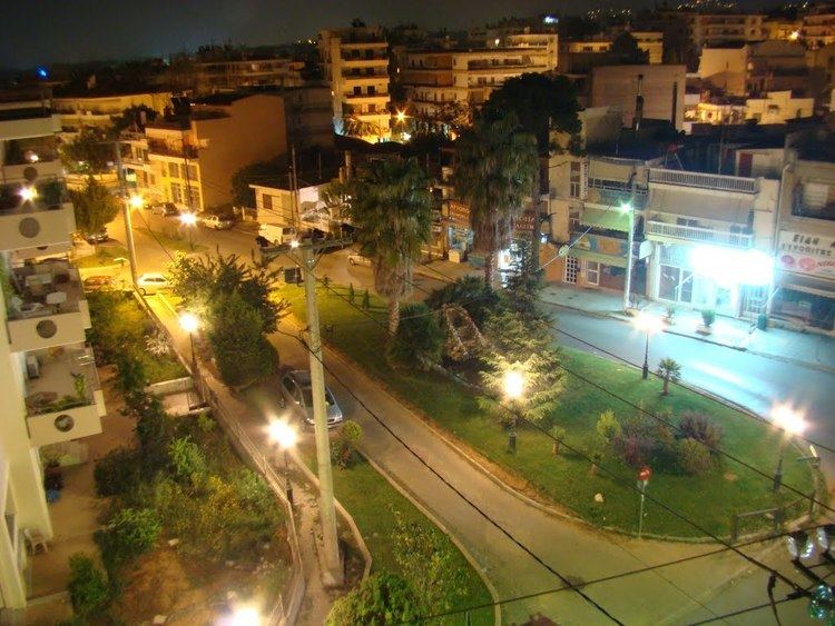
Evia greece pefki atlasvisual
Pefki (Greek: Πεύκη meaning "pine", before 1959: Μαγκουφάνα - Magkoufana) is a suburb in the northeastern part of the Athens agglomeration, Greece. Since the 2011 local government reform it is part of the municipality Lykovrysi-Pefki, of which it is the seat and a municipal unit.
Contents
Map of Pefki, Greece
Geography
Pefki is situated 10 kilometres (6 miles) northeast of Athens city centre. The municipal unit has an area of 2.176 km2. The built-up area of Pefki is continuous with those of the neighbouring suburbs Irakleio, Lykovrysi, Kifisia and Marousi. Pefki consists of two areas: Ano Pefki and Kato Pefki. Pefki is served by Athens Metro Line 1 and by several bus routes. The nearest motorway is Motorway 6, south of Pefki.
Education
The Japanese Community School of Athens was previously located in Ano Pefki.
Twin towns
Pefki is twinned with: