
 | ||
Similar Bashi Channel, Babuyan Claro Volcano, Sierra Madre, Cordillera Central, San Carlos Borromeo Church | ||
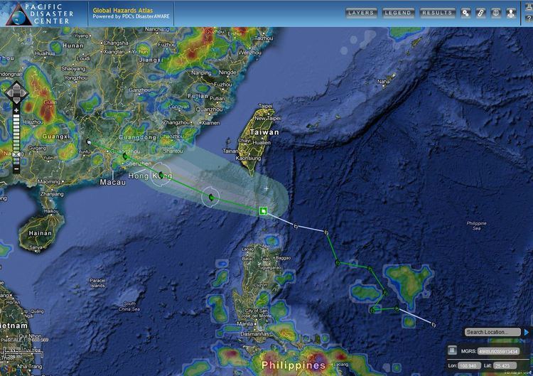
The Luzon Strait (Filipino: Kipot ng Luzon) is the strait between Taiwan and Luzon island of the Philippines. The strait thereby connects the Philippine Sea to the South China Sea in the western Pacific Ocean.
Contents
Map of Luzon Strait
Internal tide generation at luzon strait
Description
The Luzon strait is approximately 250 kilometres (160 mi) wide containing a number of islands grouped into two groups: the Batanes Islands of Batanes Province and the Babuyan Islands of Cagayan Province, both of the Philippines.
The strait is divided into a number of smaller channels. The Babuyan Channel separates Luzon from the Babuyan Islands, which is separated from the Batanes Islands by the Balintang Channel. Batanes is separated from Taiwan by the Bashi Channel.
This is an important strait for shipping and communications. Many ships from the Americas use this route to go to important East Asian ports. Many submarine communications cables pass through the Luzon Strait. These cables provide important data and telephony services to China, Hong Kong, Taiwan, Japan and South Korea.
Some of the largest ocean waves in the world are found in the north of the strait, at times over 170 metres, stemming from tides and ocean currents. These waves or currents are underwater and rarely break the surface, thus posing no danger to shipping but are sometimes visible to satellites. The oscillation is largely prompted by a long north-south ridge which covers almost all of the strait, then amplified in the northern section by a second parallel ridge. The depth of the strait reaches the 3,500 m and 4,000 contours in north-south trenches in the middle and south-western edge.
History
The Luzon Strait was part of the Japanese invasion route during the Second World War. On 8 December 1941 (the same day as the Japanese attack on Pearl Harbor, due to the International Date Line), forces of the Empire of Japan landed on Batanes. By 10 December, they had occupied Camiguin de Babuyanes in the Babuyan Islands (not to be confused with the island-province of Camiguin off northern Mindanao) in a soon-abandoned attempt to establish a seaplane base, and on the same day landed at Aparri, Cagayan on Luzon.
Subsequently, during the Second World War, many US submarines hunted Japanese convoys passing through the strait on their way from the East Indies to Japan.