
Country United States County Crenshaw Incorporated February 6, 1891 Zip code 36049 Local time Wednesday 3:40 AM | State Alabama Founded 1889 Elevation 108 m Population 2,842 (2013) Area code 334 | |
 | ||
Founded by M.P. Legrand, S.D. Hubbard, and George A. Folmar Weather 2°C, Wind N at 13 km/h, 62% Humidity Area 40.66 km² (40.4 km² Land / 10 ha Water) | ||
Luverne alabama views from above
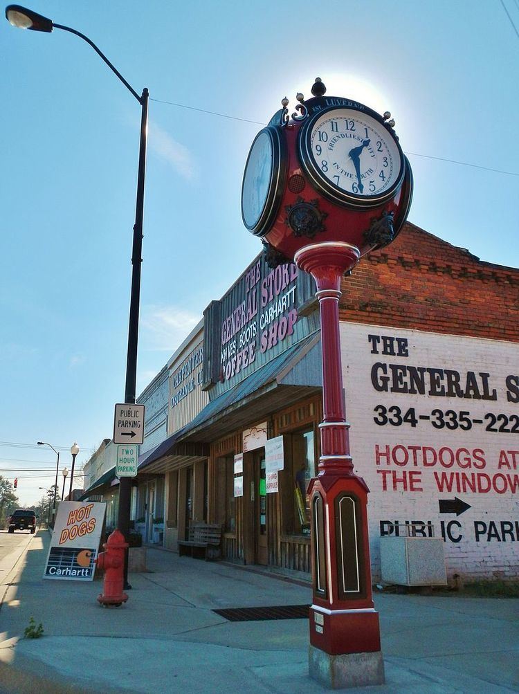
Luverne is a city in and the county seat of Crenshaw County, Alabama, United States. The community bills itself as "The Friendliest City in the South". At the 2010 census the population was 2,800.
Contents
- Luverne alabama views from above
- Map of Luverne AL 36049 USA
- Luverne alabama
- History
- Geography
- Demographics
- 2010 census
- Education
- Media
- Notable people
- References
Map of Luverne, AL 36049, USA
Luverne alabama
History
The town of Luverne was one of numerous towns developed in the state as a result of railroad construction. It was founded in 1889 in the central part of Crenshaw County in association with the construction of the Montgomery and Florida Railroad; it was intended as the terminus. The new railroad station attracted related development and the town grew. It incorporated in 1891. This was a center of timbering in the piney woods, as the land was not suitable for large-scale agriculture.
In 1893, the citizens of Crenshaw County voted to move the county seat from Rutledge to the more populous Luverne.
Geography
Luverne is located at 31°42′52″N 86°15′48″W. The town of Rutledge lies along Luverne's western border.
According to the U.S. Census Bureau, the city has a total area of 15.7 square miles (40.6 km2), of which 15.6 square miles (40.5 km2) is land and 0.04 square miles (0.1 km2), or 0.17%, is water.
Demographics
As of the census of 2000, there were 2,635 people, 1,107 households, and 710 families residing in the city. The population density was 212.7 inhabitants per square mile (82.1/km2). There were 1,249 housing units at an average density of 100.8 per square mile (38.9/km2). The racial makeup of the city was 70.25% White, 28.43% Black or African American, 0.08% Native American, 0.15% Asian, 0.04% Pacific Islander, 0.11% from other races, and 0.95% from two or more races. 0.68% of the population were Hispanic or Latino of any race.
There were 1,107 households out of which 28.9% had children under the age of 18 living with them, 42.7% were married couples living together (2.4% same-sex couples), 19.5% had a female householder with no husband present, and 35.8% were non-families. 33.8% of all households were made up of individuals and 19.2% had someone living alone who was 65 years of age or older. The average household size was 2.24 and the average family size was 2.85.
In the city, the population was spread out with 23.0% under the age of 18, 6.8% from 18 to 24, 23.4% from 25 to 44, 23.3% from 45 to 64, and 23.4% who were 65 years of age or older. The median age was 42 years. For every 100 females there were 77.0 males. For every 100 females age 18 and over, there were 71.1 males.
The median income for a household in the city was $22,457, and the median income for a family was $30,950. Males had a median income of $30,680 versus $17,813 for females. The per capita income for the city was $17,244. About 19.2% of families and 22.7% of the population were below the poverty line, including 31.3% of those under age 18 and 18.9% of those age 65 or over.
2010 census
As of the census of 2010, there were 2,800 people, 1,135 households, and 729 families residing in the city. The racial makeup of the city was 62.6% White, 29.6% Black or African American, 0.3% Native American, 5.5% Asian, 0.3% Pacific Islander, 0.8% from other races, and 1.0% from two or more races. 1.9% of the population were Hispanic or Latino of any race.
There were 1,135 households out of which 26.9% had children under the age of 18 living with them, 41.7% were married couples living together (2.4% same-sex couples), 19.2% had a female householder with no husband present, and 35.8% were non-families. 32.8% of all households were made up of individuals and 14.8% had someone living alone who was 65 years of age or older. The average household size was 2.35 and the average family size was 2.95.
In the city, the population was spread out with 23.8% under the age of 18, 7.9% from 18 to 24, 22.4% from 25 to 44, 26.3% from 45 to 64, and 19.7% who were 65 years of age or older. The median age was 41.2 years. For every 100 females there were 84.6 males. For every 100 females age 18 and over, there were 85.3 males.
The median income for a household in the city was $40,602, and the median income for a family was $51,500. Males had a median income of $43,464 versus $19,483 for females. The per capita income for the city was $18,869. About 12.6% of families and 15.8% of the population were below the poverty line, including 11.8% of those under age 18 and 20.6% of those age 65 or over.
Education
Public education for the city of Luverne is provided by the Crenshaw County School District. There are two schools in the city: Luverne High School (grades K through 12) and Crenshaw Christian Academy, a private, religiously oriented K-12 school.
Lurleen B. Wallace Community College offers certificate and two-year associate degrees at its Luverne location.