
Location India | Elevation 5,059 m | |
 | ||
Similar Taglang La, Bara‑lacha la, Chang La, Khardung La, Fotu La | ||
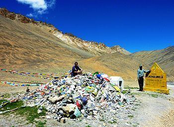
Lachulung La (el. 5,059 m or 16,600 ft), or Lāchālūng La or Lungalacha La, is a mountain pass along the Leh–Manali Highway. It is located some 54 km (34 mi) from Sarchu and 24 km (15 mi) from Pang on the Leh–Manali Highway.
Map of Lachalung La, 194201
This is one of the easier 16,000 ft (4,880 m) passes and it can be traversed cross-country by moving along the nala on both sides. However, due to elevation, the hikers face breathlessness during climb and those who have not undergone acclimatisation may face severe symptoms of altitude sickness.
References
Lungalacha La Wikipedia(Text) CC BY-SA