
Elevation 118 m (387 ft) Area code(s) country 56 + city 45 Area 1,119 km² | Time zone CLT (UTC-4) Website www.munilumaco.cl | |
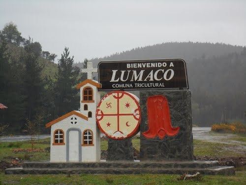 | ||
Lumaco is a town and commune in Malleco Province in the Araucanía Region of Chile. Its name in Mapudungun means "water of luma". Lumaco is located to 120 km (75 mi) northeast of Temuco and 52 km (32 mi) from Angol. It shares a boundary to the north with the communes of Purén and Los Sauces, to the east with Traiguén and Galvarino, to the south with Cholchol and Carahue in Cautin Province, and the west with Tirúa and Contulmo in the Arauco Province of the Biobío Region.
Contents
Map of Lumaco, Araucania, Chile
Geography
The epicenter of the 1960 Valdivia earthquake was near Lumaco.
Demographics
According to the 2002 census of the National Statistics Institute, Lumaco spans an area of 1,119 km2 (432 sq mi) and has 11,405 inhabitants (6,074 men and 5,331 women). Of these, 4,132 (36.2%) lived in urban areas and 7,273 (63.8%) in rural areas. The population fell by 7% (853 persons) between the 1992 and 2002 censuses.
Administration
As a commune, Lumaco is a third-level administrative division of Chile administered by a municipal council, headed by an alcalde who is directly elected every four years. The 2008-2012 alcalde is Manuel Painiqueo Tragnolao (PS).
Within the electoral divisions of Chile, Lumaco is represented in the Chamber of Deputies by Gonzalo Arenas (UDI) and Mario Venegas (PDC) as part of the 48th electoral district, (together with Angol, Renaico, Collipulli, Ercilla, Los Sauces, Purén and Traiguén). The commune is represented in the Senate by Alberto Espina Otero (RN) and Jaime Quintana Leal (PPD) as part of the 14th senatorial constituency (Araucanía-North).