
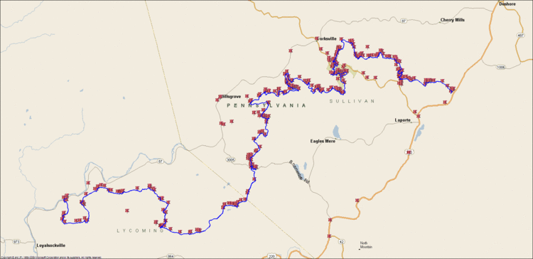
Length 59.2 mi (95.3 km) Highest point 2,140 ft (650 m) | Use Hiking Lowest point 665 ft (203 m) | |
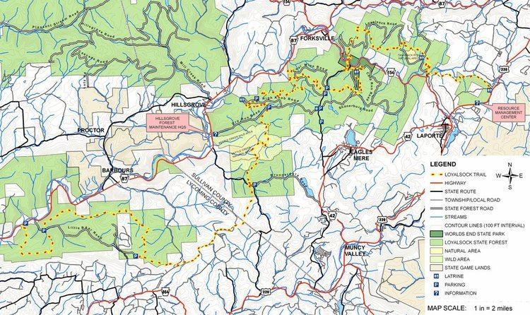 | ||
Trailheads West: Pennsylvania Route 87, 10 mi (16 km) north of MontoursvilleEast: Meade Road, 0.2 mi (0.3 km) from U.S. Route 220, just north of Laporte | ||
Loyalsock trail gh4 documentary short
The Loyalsock Trail (LT) is a 59.2 mi (95.3 km) hiking trail along Loyalsock Creek in Lycoming and Sullivan counties in north central Pennsylvania in the United States.
Contents
Loyalsock trail thru hike
Geography
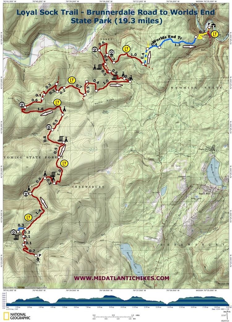
The western terminus of the trail is on Pennsylvania Route 87, 10 miles (16 km) north of Montoursville and 9 mi (14 km) north of I-180. The eastern terminus of the trail is on Meade Road, 0.2 mi (0 km) from U.S. Route 220, north of Laporte.

Most of the trail is on Pennsylvania State Forest lands, in the Loyalsock State Forest. Prior to the state forest reorganization on July 1, 2005 the trail ran through the eastern Tiadaghton State Forest in Lycoming County and the Wyoming State Forest in Sullivan County.
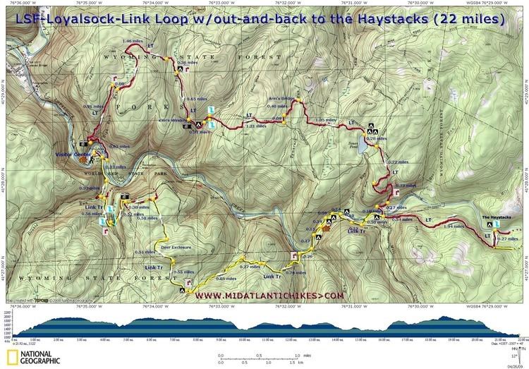
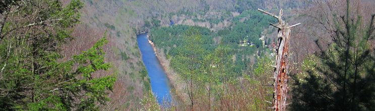
The trail has many climbs and offer many vistas. The lowest point on the trail is at 665 ft (203 m) above sea level, while the highest point is at 2,140 ft (650 m).
History
The trail was first laid out in 1951 by Troop 10 of the Explorer Scouts of the Boy Scouts of America from Williamsport. The original trail was 30.4 miles (48.9 km) long. In 1953, the Alpine Club of Williamsport was formed to maintain the trail, and still does so today. The Alpine Club's Guide to the Loyalsock Trail has seen 19 editions and was last revised in 2015. The trail reached its present length by 1962, although sections of the trail have been moved five times since, along with many changes in and relocations of side and link trails.
The trail is named for the Loyalsock Creek, whose name comes from the Native American name Lawi-saquick or "middle creek", as it is between Lycoming Creek and Muncy Creek. A section of the trail follows part of the Towanda path, a Native American trail. Other portions follow old abandoned logging roads and railroad grades. These are left over from the 19th and early 20th century when the lumber industry cut down almost all the trees in the area.
Blazes
The trail is blazed using red metal disks with the yellow letters "LT" painted in the center. An abrupt direction change is marked with double blazes. In addition to the metal disks (which are can lids), 2 by 6 in (5 by 15 cm) painted yellow rectangles with a 1 in (2.5 cm) horizontal red stripe are also used as blazes. A yellow arrow in the proper direction is used to mark turns.
Previously, blazes were a red disc with a yellow "LT". They have been replaced by a yellow disc bearing a red "LT". Be cautious at intersections with "Red X" trails, which are blazed with yellow discs bearing a red "X".
The three kinds of side trails are:
Side trails are described in the guide available from the Alpine Club.