
Country United States City Council Ward 10 Area 106 ha Area code 612 | City Minneapolis Time zone CST (UTC-6) Population 6,150 (2010) | |
 | ||
Community Calhoun Isles, Minneapolis Restaurants Leaning Tower of Pizza, Bryant‑La Bowl & Theater, moto‑i, Stella's Fish Café & Prestige, Common Roots Cafe | ||
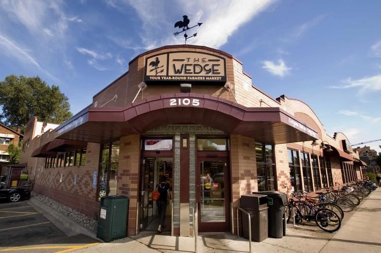
Lowry Hill East is a neighborhood in southwest Minneapolis, Minnesota, United States, part of the Calhoun Isles community. It is bounded on the east by Lyndale Avenue, on the west by Hennepin Avenue and on the south by Lake Street. Lyndale and Hennepin intersect on the northern side at Interstate 94. This creates a neighborhood roughly triangular in shape, which is how it gets its nickname, "the Wedge." It is part of a larger area south of Franklin Avenue and west of Nicollet Avenue that is often considered Uptown, although officially Uptown is a smaller area centered on the intersection of Hennepin and Lake.
Contents
Map of Lowry Hill East, Minneapolis, MN, USA
Lowry Hill East developed in the 1880s along a horse-drawn streetcar line built by Thomas Lowry. The interior of the neighborhood is zoned residential, with large early 20th century homes and multi-unit apartment buildings, while the border streets are lined with bars, restaurants, grocery stores, coffeeshops, and other small businesses. Most housing is renter-occupied.
In 2010, the population of the neighborhood was 6,150. The neighborhood was 83.5% White, 4.4% Black or African American, 0.6% American Indian or Alaska Native, 4.2% Asian or Pacific Islander, 4.1% Hispanic or Latino, 3.1% two or more races, and 0.2% other race. It had a much higher percentage of single residents than other neighborhoods in Minneapolis and a lower percentage of families with children. The median household income was $43,922, which was $1,703 lower than the city average.
Lowry Hill East is bordered by Loring Park and Stevens Square to the northeast, Whittier to the east, Lyndale to the southeast, CARAG to the south, ECCO to the southwest, East Isles to the west, and Lowry Hill to the northwest.
Businesses
Businesses in Lowry Hill East, Minneapolis