
Country United States County Hennepin Time zone CST (UTC-6) Community Powderhorn, Minneapolis Population 7,419 (2010) | State Minnesota City Minneapolis Area 125 ha Zip code 55408 Area code 612 | |
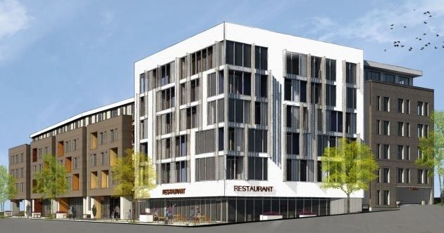 | ||
Restaurants Hola Arepa, RAMEN KAZAMA, Pat's Tap, Sonny's Ice Cream Cafe, Turbo Taco | ||
Lyndale is a neighborhood within south Minneapolis. Its boundaries are Lake Street to the north, Interstate 35W to the east, 36th Street to the south and Lyndale Avenue South to the west.
Contents
Map of Lyndale, Minneapolis, MN 55408, USA
Schools
Businesses
References
Lyndale, Minneapolis Wikipedia(Text) CC BY-SA