
Country United States Time zone CST (UTC-6) Area 161 ha Area code 612 | ZIP code 55403, 55405 Population 3,760 (2010) | |
 | ||
Community Calhoun Isles, Minneapolis Restaurants Burch Steak and Pizza Bar, The Lowry, Bradstreet Neighbor Craftshou, Lowry Hill Meats, Esker Grove | ||
Lowry Hill is a neighborhood within the Calhoun-Isles community in Minneapolis, Minnesota. The neighborhood is named for the terminal moraine on which it sits, a hill named after late nineteenth century real estate mogul and trolley tycoon Thomas Lowry. Its boundaries are Interstate 394 to the north, Interstate 94 to the east, Hennepin Avenue to the southeast, West 22nd Street to the south, Lake of the Isles Parkway to the southwest, and Logan Avenue South and Morgan Avenue South to the west. Lowry Hill is northwest of Lowry Hill East; the two neighborhoods are separated by Hennepin Avenue.
Map of Lowry Hill, Minneapolis, MN, USA
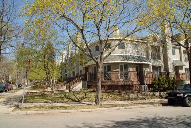
Many houses in Lowry Hill were built in the Victorian style before 1900. However, the Colonial, Mediterranean, English Tudor, Richardsonian Romanesque, Rambler, and Prairie style make appearances as well. A majority of those homes were constructed shortly after the neighborhood's establishment as a preferred residential area for many of the wealthiest of Minneapolis' citizens. In over 100 years, the look of Lowry Hill has remained almost unchanged, however, some of the large homes built by original owners have been converted to condominia.