
Country United States Time zone CST (UTC-6) Area 89.85 km² Local time Monday 9:20 PM | Established February 19, 1868 Elevation 211 m Population 406 (2010) | |
 | ||
ZIP codes 60924, 60942, 60953, 60973 Weather -3°C, Wind N at 16 km/h, 95% Humidity | ||
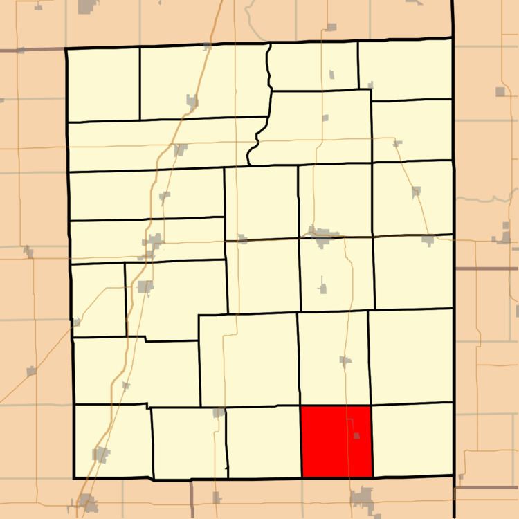
Lovejoy Township is one of twenty-six townships in Iroquois County, Illinois, USA. As of the 2010 census, its population was 406 and it contained 184 housing units. Lovejoy Township was formed from a portion of Milford Township on February 19, 1868.
Contents
- Map of Lovejoy Township IL USA
- Geography
- Cities towns villages
- Extinct towns
- Cemeteries
- Major highways
- School districts
- Political districts
- References
Map of Lovejoy Township, IL, USA
Geography
According to the 2010 census, the township has a total area of 34.69 square miles (89.8 km2), all land.
Cities, towns, villages
Extinct towns
Cemeteries
The township contains these two cemeteries: Amity and Floral Hill.
Major highways
School districts
Political districts
References
Lovejoy Township, Iroquois County, Illinois Wikipedia(Text) CC BY-SA