
Country United States Time zone CST (UTC-6) Elevation 194 m Zip code 60953 Population 1,659 (2010) | Established November 6, 1855 GNIS feature ID 0429363 Area 114.8 km² Local time Wednesday 6:58 AM | |
 | ||
Weather -4°C, Wind NE at 19 km/h, 75% Humidity | ||
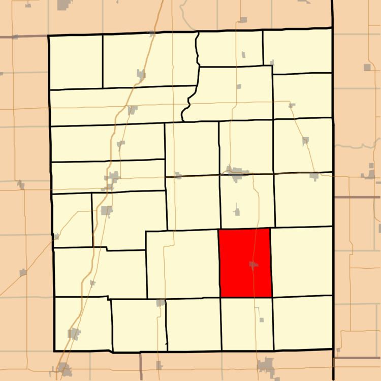
Milford Township is one of twenty-six townships in Iroquois County, Illinois, USA. As of the 2010 census, its population was 1,659 and it contained 819 housing units.
Contents
- Map of Milford Township IL USA
- Geography
- Cities towns villages
- Unincorporated towns
- Cemeteries
- Major highways
- Airports and landing strips
- Political districts
- References
Map of Milford Township, IL, USA
Geography
According to the 2010 census, the township has a total area of 44.34 square miles (114.8 km2), all land.
Cities, towns, villages
Unincorporated towns
(This list is based on USGS data and may include former settlements.)
Cemeteries
The township contains these three cemeteries: Maple Grove, Old Milford and Vennum.
Major highways
Airports and landing strips
Political districts
References
Milford Township, Iroquois County, Illinois Wikipedia(Text) CC BY-SA