
Country United States of America | Elevation 602 m | |
 | ||
Topo map USGS Calaveras Reservoir District | ||
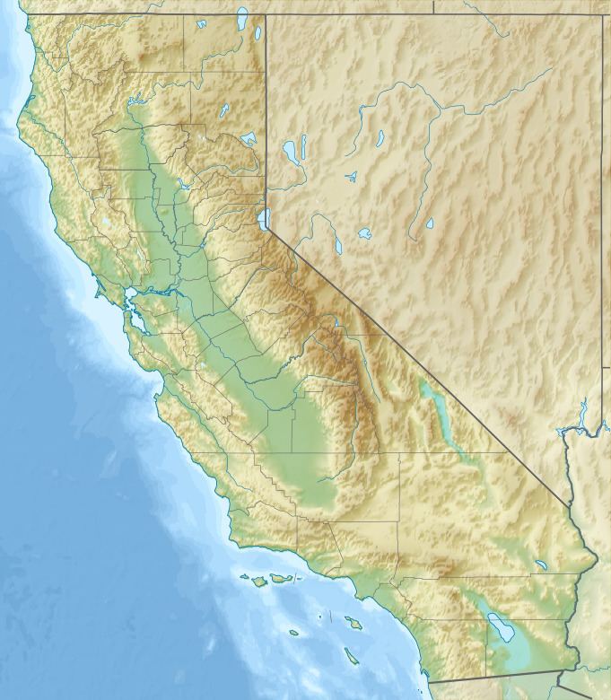
Los Buellis Hills is a short sub−range of hills in the northwestern Diablo Range, in the East Bay region of the San Francisco Bay Area, within Santa Clara County, California.
Contents
Map of Los Buellis Hills, Berryessa, CA 95132, USA
Geography
The hills are located east of the Berryessa community in northeastern San Jose, and slightly west of Felter Road.
The Los Buellis Hills average about 2,000 feet (610 m) in elevation.
The hills support a non-native grassland habitat, and are used primarily for cattle grazing. High-voltage transmission lines pass through the hills.
References
Los Buellis Hills Wikipedia(Text) CC BY-SA