
Country Netherlands Time zone CET (UTC+1) Website www.loppersum.nl Local time Monday 1:33 AM Area code 0596 | Elevation 1 m (3 ft) Postcode Parts of 9900 range Area 112 km² | |
 | ||
Weather 4°C, Wind E at 13 km/h, 77% Humidity | ||
Loppersum ( [ˈlɔpərsɵm]) is a village and municipality with a population of 10,174 in the province of Groningen in the northeast of the Netherlands.
Contents
Map of Loppersum, Netherlands
Geography
Loppersum is located at 53°20′N 6°45′E in the province of Groningen in the north of the Netherlands.
The municipality is bordered by the municipalities of Eemsmond (north), Delfzijl (east), Appingedam (east), Slochteren (southeast), Ten Boer (south), and Bedum (southwest).
The population centres in the municipality are:
Government
The mayor of Loppersum is Albert Rodenboog of the Christian Democratic Appeal. He was chosen as best local administrator by the professional magazine Binnenlands Bestuur in 2013.
Monuments
The Petrus en Pauluskerk is a national heritage site (rijksmonument) in Loppersum.
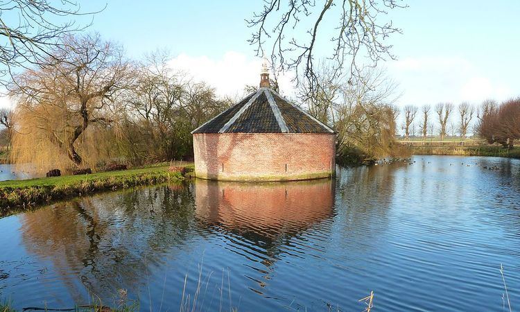
Of the borg of Ewsum in Middelstum a single defense tower remains today.
Transportation
The Groningen–Delfzijl railway runs through the municipality from east to west with the railway stations of Stedum and Loppersum.