
Country Burma Time zone MMT (UTC+6:30) | Elevation 1,057 m | |
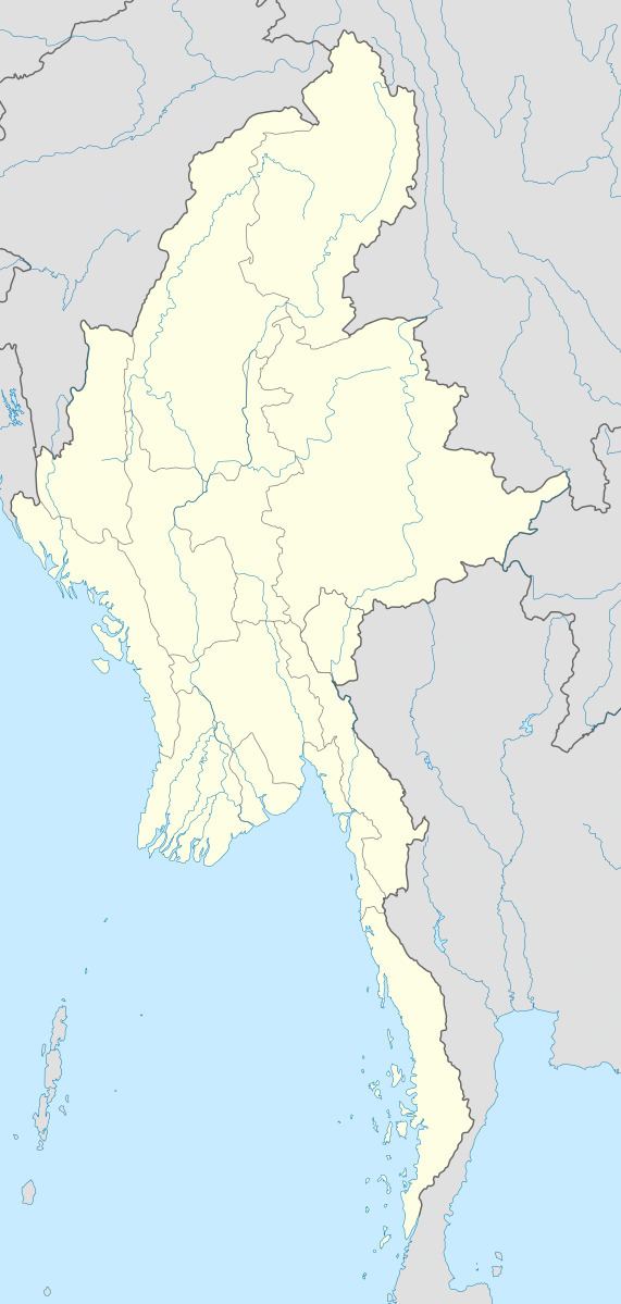 | ||
Longkam is a village in Mu Se Township, Mu Se District, northern Shan State.
Contents
Map of Longkam, Myanmar (Burma)
Geography
Longkam lies in a valley, 1 km southwest of Nawngwao. Nawnghoi, a mountain with a rocky summit that rises to a height of 1,936 m (6,352 ft), is located about 4 km to the northeast of the village. Elevation of 1,057m.
References
Longkam Wikipedia(Text) CC BY-SA