
Time zone CET/CEST (UTC+1/+2) Area 11.5 km² Population 1,182 (31 Dec 2008) Dialling code 06531 | Elevation 410 m (1,350 ft) Postal codes 54472 Local time Sunday 8:38 PM Postal code 54472 | |
 | ||
Weather 7°C, Wind E at 14 km/h, 51% Humidity | ||
Longkamp faschingsumzug 2017
Longkamp is an Ortsgemeinde – a municipality belonging to a Verbandsgemeinde, a kind of collective municipality – in the Bernkastel-Wittlich district in Rhineland-Palatinate, Germany.
Contents
- Longkamp faschingsumzug 2017
- Map of Longkamp Germany
- Longkamp fastnacht 2016
- Location
- History
- Municipal council
- Mayors
- Economy
- Education
- Transport
- References
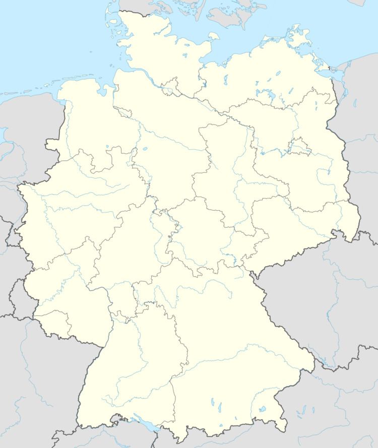
Map of Longkamp, Germany
Longkamp fastnacht 2016
Location
Longkamp lies at the edge of the Hunsrück south of the Moselle and is a state-recognized tourism community. It belongs to the Verbandsgemeinde of Bernkastel-Kues, whose seat is in the like-named town.
History
In 1030, Longkamp had its first documentary mention. The name is of Gallo-Romance origin and derives from the Latin longus campus, which means “long field”. Until 1802, Longkamp was united with Kommen into one municipality.
Municipal council
The council is made up of 16 council members, who were elected by proportional representation at the municipal election held on 7 June 2009, and the honorary mayor as chairman.
The municipal election held on 7 June 2009 yielded the following results:
Mayors
Since 2007, Franz-Josef Klingels has been Mayor of Longkamp. He succeeded Hans Johann Herrmann (CDU).
Economy
Although there were still 150 farming businesses in the 1950s, agriculture today only plays a very small rôle in the local economy.
Education
In Longkamp are one kindergarten and one primary school.
Transport
Frankfurt-Hahn Airport lies 21 km away.