
Area 2,502 km² Population 19,444 (2013) | Website www.co.llano.tx.us Founded 1856 | |
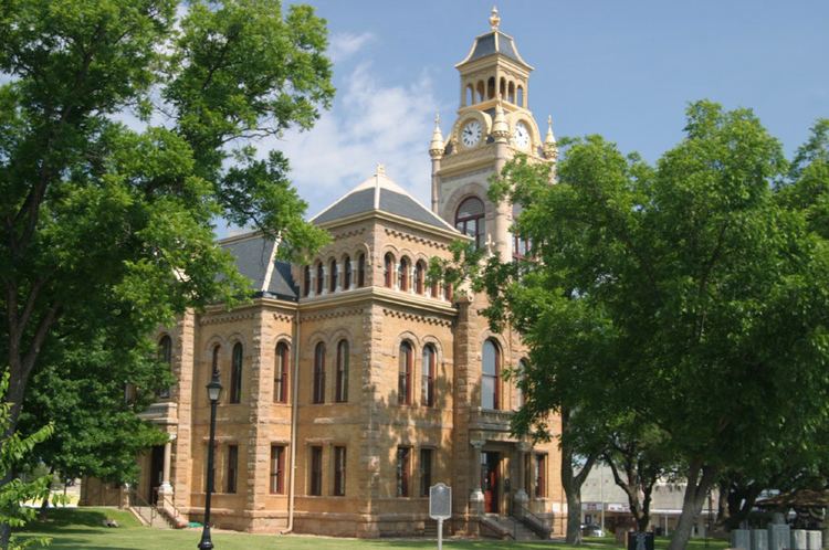 | ||
Points of interest | ||
Llano County /ˈlænoʊ/ is a county located on the Edwards Plateau in the U.S. state of Texas. As of the 2010 census, its population was 19,301. Its county seat is Llano, and the county is named for the Llano River.
Contents
- Map of Llano County TX USA
- History
- Darmstadt Society of Forty
- Geography
- Major highways
- Adjacent counties
- Demographics
- Cities
- Census designated places
- Other unincorporated communities
- Ghost towns
- Notable people
- References
Map of Llano County, TX, USA
In 1869, pioneer rancher John Wesley Snyder led a cattle drive from Llano County along the Chisholm Trail to Abilene, Kansas.
In the 1870s, a pioneer community known as Baby Head existed in Llano County. According to local legend, a small child was killed by Native Americans, and her remains were left on a hill called Baby Head Mountain. Hence Jodie May McKneely (died January 1, 1884) originated the Baby Head Cemetery. The community no longer exists.
History
Darmstadt Society of Forty
Count Castell of the Adelsverein negotiated with the separate Darmstadt Society of Forty to colonize 200 families on the Fisher-Miller Land Grant in Texas. In return, they were to receive $12,000 in money, livestock, equipment and provisions for a year. After the first year, the colonies were expected to support themselves. The colonies attempted were Castell, Leiningen, Bettina, Schoenburg and Meerholz in Llano County; Darmstädler Farm in Comal County; and Tusculum in Kendall County. Of these, only Castell survives. The colonies failed after the Adelsverein funding expired, and also due to conflict of structure and authorities. Some members moved to other Adelsverein settlements in Texas. Others moved elsewhere, or returned to Germany.
Geography
According to the U.S. Census Bureau, the county has a total area of 966 square miles (2,500 km2), of which 934 square miles (2,420 km2) is land and 32 square miles (83 km2) (3.3%) is water.
Enchanted Rock, a designated state natural area and popular tourist destination, is located in southern Llano county.
Two significant rivers, the Llano and the Colorado, flow through Llano County. These rivers contribute to Lake Buchanan, Inks Lake, and Lake Lyndon B. Johnson, which are all located partially within the county.
Major highways
Adjacent counties
Demographics
As of the 2000 census, 17,044 people, 7,879 households, and 5,365 families resided in the county. The population density was 18 people per square mile (7/km²). There were 11,829 housing units at an average density of 13 per square mile (5/km²). The racial makeup of the county was 96.27% White, 0.30% Black or African American, 0.42% Native American, 0.38% Asian, 0.03% Pacific Islander, 1.77% from other races, and 0.84% from two or more races. About 5.13% of the population were Hispanics or Latinos of any race.
Of the 7,879 households, 16.90% had children under the age of 18 living with them, 59.50% were married couples living together, 5.90% had a female householder with no husband present, and 31.90% were not families. About 28.30% of all households were made up of individuals and 16.00% had someone living alone who was 65 years of age or older. The average household size was 2.13 and the average family size was 2.56.
In the county, the population was distributed as 15.90% under the age of 18, 4.50% from 18 to 24, 18.40% from 25 to 44, 30.50% from 45 to 64, and 30.70% who were 65 years of age or older. The median age was 53 years. For every 100 females, there were 94.40 males. For every 100 females age 18 and over, there were 91.70 males.
The median income for a household in the county was $34,830, and for a family was $40,597. Males had a median income of $30,839 versus $21,126 for females. The per capita income for the county was $23,547. About 7.20% of families and 10.30% of the population were below the poverty line, including 17.20% of those under age 18 and 6.00% of those age 65 or over.