
Founded 1798 Area 885.8 km² | Named for Robert Livingston Population 9,359 (2013) | |
 | ||
Weather 3°C, Wind E at 10 km/h, 53% Humidity Points of interest Kentucky Dam, Ohio River, Mantle Rock Preserve, Barkley lock | ||
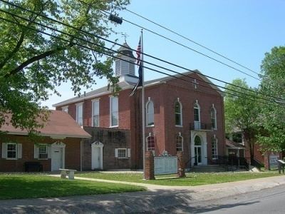
Livingston County is a county located in the U.S. state of Kentucky. As of the 2010 census, the population was 9,519. Its county seat is Smithland. The county was established in 1798 from land taken from Christian County and is named for Robert R. Livingston, a member of the committee that drafted the Declaration of Independence. The county was strongly pro-Confederate during the American Civil War and many men volunteered for the Confederate Army.
Contents
- Map of Livingston County KY USA
- Geography
- Adjacent counties
- Major highways
- Demographics
- Cities
- Census designated places
- Notable people
- References
Map of Livingston County, KY, USA
Livingston County is part of the Paducah, KY-IL Micropolitan Statistical Area.
It is a prohibition or dry county.
Geography
According to the U.S. Census Bureau, the county has a total area of 342 square miles (890 km2), of which 313 square miles (810 km2) is land and 29 square miles (75 km2) (8.5%) is water. The western border with Illinois is formed by the Ohio River.
Adjacent counties
Major highways
Demographics
As of the census of 2010, there were 9,519 people residing in the county. The population density was 31 per square mile (12/km2). There were 4,772 housing units at an average density of 15 per square mile (5.8/km2). The racial makeup of the county was 98.49% White, 0.14% Black or African American, 0.42% Native American, 0.03% Asian, 0.01% Pacific Islander, 0.28% from other races, and 0.63% from two or more races. 0.75% of the population were Hispanics or Latinos of any race.
There were 3,996 households out of which 29.50% had children under the age of 18 living with them, 60.40% were married couples living together, 7.90% had a female householder with no husband present, and 27.60% were non-families. 24.40% of all households were made up of individuals and 11.00% had someone living alone who was 65 years of age or older. The average household size was 2.42 and the average family size was 2.86.
The age distribution was 22.30% under the age of 18, 7.50% from 18 to 24, 28.20% from 25 to 44, 27.00% from 45 to 64, and 14.90% who were 65 years of age or older. The median age was 40 years. For every 100 females there were 97.80 males. For every 100 females age 18 and over, there were 97.70 males.
The median income for a household in the county was $31,776, and the median income for a family was $39,486. Males had a median income of $33,633 versus $19,617 for females. The per capita income for the county was $17,072. About 7.60% of families and 10.30% of the population were below the poverty line, including 10.70% of those under age 18 and 15.80% of those age 65 or over.