
OS grid reference TG0134 Sovereign state United Kingdom Dialling code 01328 | Civil parish Little Snoring Area 7.31 km² Local time Wednesday 6:42 PM | |
 | ||
Population 619 (parish, 2011 Census) Weather 7°C, Wind SE at 19 km/h, 89% Humidity | ||
Little Snoring is a village and a civil parish in Norfolk, England.
Contents
Map of Little Snoring, UK
The village is approximately 2 miles (3 km) east-north-east from the town of Fakenham, 17 miles (27 km) west-south-west from Cromer, and to the side of the A148 road.
At the 2011 Census, it had population of 619. For the purposes of local government, the parish falls within the district of North Norfolk.
History
Little Snoring has an entry in the Domesday Book of 1085. In the Great Book (jargon for "The Domesday Book") Little Snoring is recorded by the names "Esnaringa", "Snaringa" and "Snarlinga", named after "Snare", the settlers' leader, and thus the name Little Snoring evolved over the centuries. It was the king's land with the main landholders being William de Warenne and Peter de Valognes and his main tenant is said to be Ralph.
Within the parish of Little Snoring, at a place called Queensgate, was a house of the Order of St Lazarus. It is mentioned in the will of Alexander, Rector of Snoring Parva, in 1380. Nothing further about the house is known.
Landmarks
The church of Little Snoring St Andrew is one of 124 existing round-tower churches in Norfolk. The church and its separate tower are Grade I listed buildings.
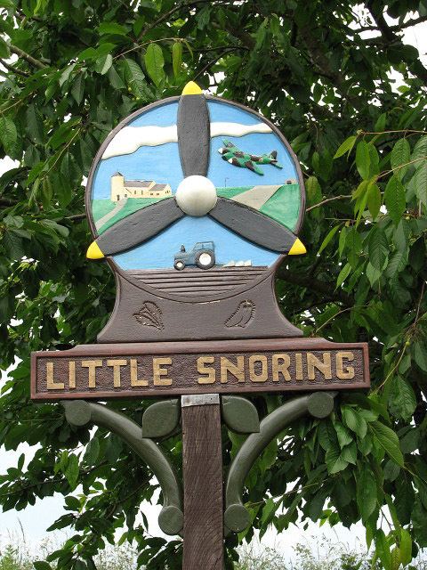
The village has an airfield, formerly RAF Little Snoring, part of which is still active as a private airfield, whilst the other part now belongs to a potato-producing company.
Amenities
Village amenities include a school, post office and the Green Man public house.
The nearest railway station is at Sheringham for the Bittern Line which runs between Sheringham, Cromer and Norwich. The nearest airport is Norwich International Airport.