
Length 80.5 km | ||
 | ||
History: Designated in 2008Completed in 2011 | ||
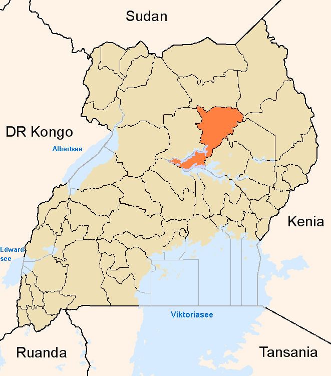
The Lira–Kamdini–Karuma Road, also known as the Karuma–Kamdini–Lira Road, is a road in the Northern Region of Uganda, connecting the town of Lira, in Lira District, with the towns of Kamdini and Karuma, both in Oyam District.
Contents
Route description
The road starts at Lira, the largest town in the Lango sub-region, and continues westwards through Kamdini, where it takes a southwesterly direction to end at Karuma, a distance of approximately 80 kilometres (50 mi). The road is part of the Tororo to Arua and the Tororo to Juba transportation corridors. The coordinates of the road near Kamdini are 2°13'43.0"N, 32°20'08.0"E (Latitude:2.228599; Longitude:32.335545).
History
The road was upgraded to class II bitumen surface with shoulders and drainage channels during the three years leading up to August 2011 when work was competed. The total road length was quoted as 88 kilometres (55 mi). The work extended to Karuma Bridge itself.