
Elevation 1,057 m | Local time Saturday 12:47 PM | |
 | ||
Weather 31°C, Wind E at 10 km/h, 41% Humidity | ||
Kamdini, also referred to as Kamdini Corder, is a town in the Northern Region of Uganda.
Contents
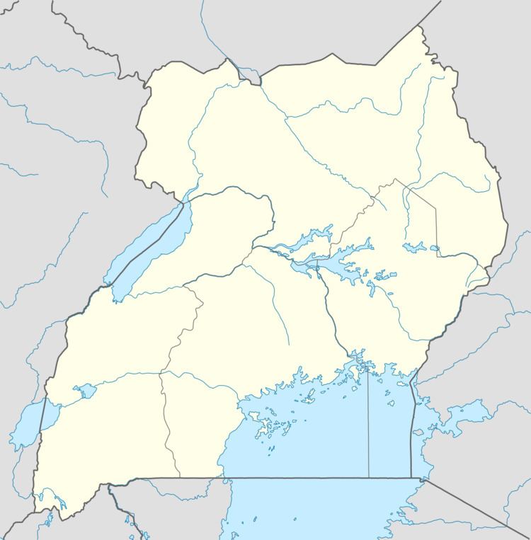
Map of Kamdini, Uganda
Location
Kamdini is in the Oyam District of the Lango sub-region. The town is approximately 21.5 kilometres (13.4 mi), by road, west of Oyam, where the district headquarters are located. This is approximately 68 kilometres (42 mi), by road, west of Lira, the nearest large city. The coordinates of the town are 2°14'47.0"N, 32°19'52.0"E (Latitude:2.246402; Longitude: 32.331120).
Overview
Kamdini lies at the junction of three major roads in Uganda. The Kiryandongo-Kamdini Road, the Gulu–Kamdini Road, and the Lira-Kamdini Road, with all meeting in the center of town. The average elevation of the town is approximately 1,057 metres (3,468 ft) above sea level.
References
Kamdini Wikipedia(Text) CC BY-SA