
Use Hiking Season All year round | Trail difficulty Moderate to Strenuous Length 65,000 m | |
 | ||
Sights Derbyshire limestone dales | ||
The limey way walk june 2010
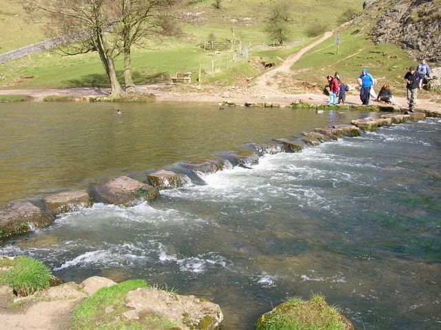
The Limey Way is a 65-kilometre Challenge walk through Derbyshire, England. It starts at Castleton and progesses through 15 major and 5 minor limestone dales to reach the River Dove and Dovedale, the walk's end.
Contents
The walk was first described in the 1960s and a Challenge Recorder was appointed: all persons who submitted a full verified account received a woven badge. The walk was later superseded by the Derbyshire Council's own walk, the Limestone Way, which uses the route of the Limey Way down to Thorpe and adds some extra mileage.
Route
The path follows the Derbyshire dales from one into another along the route and in its later stages includes some of the Tissington Trail.
FINISH Dovedale Car Park SK146508
References
Limey Way Wikipedia(Text) CC BY-SA