
OS grid reference SU929621 Post town Lightwater Local time Friday 4:11 PM | Sovereign state United Kingdom Dialling code 01276 | |
 | ||
Population 6,791 (2011 Census. Ward) Weather 11°C, Wind W at 24 km/h, 61% Humidity | ||
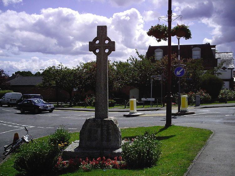
Lightwater is a town in the Surrey Heath district of Surrey, England, about 27 miles (43 km) south-west of Central London. Immediately surrounding towns and villages include Bagshot, Deepcut, Windlesham, Camberley, and West End, Woking. It is bounded to the north-west by the M3 motorway and to the north-east by the Lightwater bypass. To the south-east it is bounded by the "Red Road" (B311), while to the south-west there are vehicle-testing tracks owned by the Ministry of Defence.
Contents
Map of Lightwater, UK
Development
Prior to development, the natural vegetation was part of the Surrey heathland as seen in Bagshot and Chobham Common. The region has been inhabited since pre-historic times with tumuli in the heathland to the south of the village.
In modern times, Lightwater grew as a place with holiday homes in a chalet style for people living in London. Since 1960 it has grown rapidly, with housing estates proliferating in the area just north of Red Road and the military ranges around Greyspot.
Facilities
The town has full medical facilities and veterinary surgery, a library, pubs, a post office, a range of shops and a petrol station.
Transport
Despite Lightwater being larger in size, the nearest railway station is at Bagshot. This reflects the fact that Bagshot used to be a more important town as a staging post on journeys from London to Southampton and the West Country. Lightwater has grown in size as a dormitory settlement in recent times. In the adjacent 1890s map of the area, Bagshot is a notable town while Lightwater is noted as just a farm.
Lightwater Country Park
Lightwater has its own country park, with some 100 acres (0.40 km2) of heathland, complete with "nature trail", together with a leisure centre and visitors centre.
The park has a view point, called High Curley, which gives views of about 250 degrees. From this point Bracknell, Ascot Racecourse, the London skyline and Bagshot Park can be seen to the west of the M3.
Towards the north-east, planes landing at Heathrow can be spotted, together with the high -rise buildings of the City of London and Canary Wharf. To the east, the taller buildings of Woking are visible, as also the North Downs.
Sport
The local senior rugby club is Lightwater Rugby Club.
The largest local junior badminton club, Swifts, is accredited as a Badminton England Premier Club and is based at Lightwater Leisure Centre.