
Country United States GNIS feature ID 453552 Local time Thursday 10:33 PM | FIPS code 18-43236 Elevation 309 m Population 4,685 (2010) | |
 | ||
Weather -1°C, Wind S at 5 km/h, 50% Humidity Area 90.73 km² (90.34 km² Land / 39 ha Water) | ||
Liberty Township is one of twelve townships in Delaware County, Indiana. According to the 2010 census, its population was 4,685 and it contained 2,036 housing units.
Contents
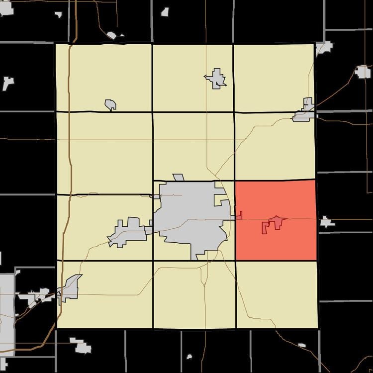
- Map of Liberty Township IN USA
- Geography
- Cities and towns
- Unincorporated towns
- Adjacent townships
- Major highways
- Cemeteries
- References
Map of Liberty Township, IN, USA
Liberty Township was established in 1825.
Geography
According to the 2010 census, the township has a total area of 35.03 square miles (90.7 km2), of which 34.88 square miles (90.3 km2) (or 99.57%) is land and 0.15 square miles (0.39 km2) (or 0.43%) is water.
Cities and towns
Unincorporated towns
Adjacent townships
Major highways
Cemeteries
The township contains eight cemeteries: Bortsfield, Freidline, Graham, Mount Tabor, Orr, Sparr, Truitt and White.
References
Liberty Township, Delaware County, Indiana Wikipedia(Text) CC BY-SA